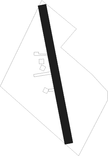
Sant Jordi - Vinaros
Airport details
| Country | Spain |
| State | Valencian Community |
| Region | |
| Airspace | Barcelona Ctr |
| Municipality | Vinaròs |
| Elevation | 376ft (115m) |
| Timezone | GMT +1 |
| Coordinates | 40.52195, 0.38976 |
| Magnetic var | |
| Type | land |
| Available since | X-Plane v10.40 |
| ICAO code | XLE000Q |
| IATA code | n/a |
| FAA code | n/a |
Communication
| Vinaros unnamed entity | 130.125 |
Nearby Points of Interest:
Poblado Ibérico del Puig de la Misericordia
-Església de Sant Jaume de Sant Jordi del Maestrat
-Pont de les Caixetes
-Torre de los Mártires
-Ermita de la Mare de Déu dels Desemparats (Càlig)
-Torre de Càlig
-Convent de la Santíssima Trinitat
-Ermita de la Mare de Déu del Socors de Càlig
-Pou de Sant Miquel
-Molí Nou
-Santuari de la Font de la Salut, Traiguera
-Casa de la Mestra Gual
-Capella pedró de l'Ermita de la Pietat
-Sèquia general (Ulldecona)
-Església de l'Assumpció de Traiguera
-Recinto amurallado de Traiguera
-Mas
-Ulldecona Cemetery
-Mare de Déu de Loreto d'Ulldecona
-Cooperativa Agrícola d'Ulldecona
-House in carrer Major, 167
-Església de Sant Agustí de Vinaròs
-Orfeó Ulldeconenc
-Casa Yvars
-Casa dels Campos
Nearby beacons
| code | identifier | dist | bearing | frequency |
|---|---|---|---|---|
| CTN | CASTELLON VOR/DME | 22.8 | 225° | 117.05 |
| MLA | MAELLA VOR/DME | 37.8 | 340° | 112.10 |
| RUS | REUS NDB | 50.9 | 50° | 424 |
| RES | REUS VOR/DME | 51.7 | 51° | 114.20 |
| SGO | SAGUNTO (VALENCIA) NDB | 57.8 | 215° | 356 |
| EBT | BETERA NDB | 66.8 | 224° | 362 |
Disclaimer
The information on this website is not for real aviation. Use this data with the X-Plane flight simulator only! Data taken with kind consent from X-Plane 12 source code and data files. Content is subject to change without notice.
