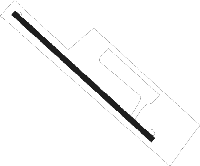
Medina Sidonia
Airport details
| Country | Spain |
| State | Andalusia |
| Region | |
| Airspace | Madrid Ctr |
| Municipality | Medina Sidonia |
| Elevation | 225ft (69m) |
| Timezone | GMT +1 |
| Coordinates | 36.44184, -5.94178 |
| Magnetic var | |
| Type | land |
| Available since | X-Plane v10.40 |
| ICAO code | XLE0014 |
| IATA code | n/a |
| FAA code | n/a |
Communication
| Medina Sidonia unnamed entity | 130.125 |
Nearby Points of Interest:
Ermita de los Santos Mártires (Medina-Sidonia)
-Arco de Belén (Medina-Sidonia)
-Complejo endorreico de Chiclana
-Sanctuary of Our Lady of the Saints
-Torre Cera
-Torre del Reloj del antiguo Cabildo
-Castle of Alcalá de los Gazules
-Bahía de Cádiz Natural Park
-Walls of Vejer de la Frontera
-Arsenal de la Carraca
-Acueducto de Tempul
-La Barca iron bridge
-Ayuntamiento
-Tajo de las Figuras
-Torre Bermeja
-Torre Alta
-Antigua Iglesia de Jesús, María y José
-Ermita de Nuestra Señora de la Ina
-Batería de San Genís
-Poblado de Majarromaque - José Antonio
-Puente de la Cartuja
-Charterhouse of Santa María de la Defensión
-Castle of Doña Blanca
-Torre de Trafalgar
-Cementerio Nuestra Señora de La Merced
Runway info
| Runway 14 / 32 | ||
| length | 377m (1237ft) | |
| bearing | 131° / 311° | |
| width | 10m (34ft) | |
| surface | asphalt | |
| displ threshold | 16m (52ft) / 63m (207ft) | |
Nearby beacons
| code | identifier | dist | bearing | frequency |
|---|---|---|---|---|
| VJF | VEJER DE LA FRONTERA VOR/DME | 12.2 | 189° | 117.80 |
| JRZ | JEREZ VOR/DME | 22.7 | 347° | 113 |
| AOG | ROTA TACAN | 23.2 | 297° | 108.60 |
| JER | JEREZ NDB | 23.8 | 349° | 433 |
| GBR | GIBRALTAR TACAN | 34.1 | 117° | 113.60 |
| TNR | TANGER VOR/DME | 42.5 | 178° | 108.05 |
| TNG | TANGER VOR/DME | 42.8 | 176° | 115.90 |
| TAN | TANGER NDB | 43.7 | 169° | 374 |
| CEU | CEUTA NDB | 45.1 | 131° | 300 |
| MRN | MORON (SEVILLE) VOR/DME | 46.6 | 24° | 115.50 |
| EEC | EL COPERO (SEVILLA) NDB | 52.3 | 356° | 327 |
| SPP | SEVILLE NDB | 59 | 9° | 420 |
| TTN | TETOUAN VOR/DME | 59 | 144° | 117.30 |
| SVL | SEVILLE VOR/DME | 59.8 | 10° | 113.70 |
Disclaimer
The information on this website is not for real aviation. Use this data with the X-Plane flight simulator only! Data taken with kind consent from X-Plane 12 source code and data files. Content is subject to change without notice.
