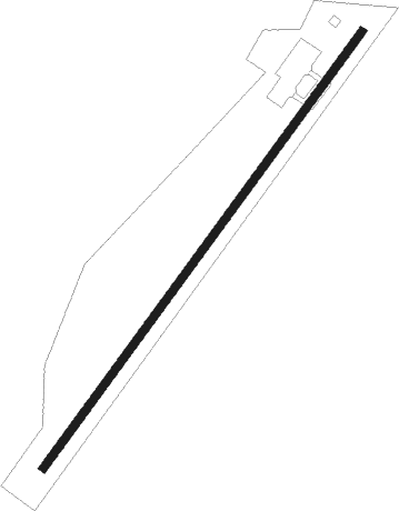
Robledo De Corpes - Hiendelaencia Las Minas
Airport details
| Country | Spain |
| State | Castile-La Mancha |
| Region | |
| Airspace | Madrid Ctr |
| Municipality | Hiendelaencina |
| Elevation | 3690ft (1125m) |
| Timezone | GMT +1 |
| Coordinates | 41.10941, -2.98578 |
| Magnetic var | |
| Type | land |
| Available since | X-Plane v10.40 |
| ICAO code | XLE0016 |
| IATA code | n/a |
| FAA code | n/a |
Communication
Nearby Points of Interest:
Church of Nuestra Señora de la Asunción
-Castle of Atienza
-Castle of Cogolludo
-Castle of Galve de Sorbe
-Salt mine of Imón
-Church of San Pedro Apóstol
-Ermita de Santa María de Tiermes
-Sigüenza
-Monastery of Bonaval
-Castillo de Rello
-Hayedo de Tejera Negra
-Church of San Juan Bautista
-Parish church, Saúca
-Conjunto Histórico de Brihuega
-Church of San Simón, Brihuega
-Iglesia de Santa María, Bujarrabal
-Cave of El Reguerillo
-Hermitage of Virgen de la Oliva, Patones
-Church of the Assumption, El Cubillo de Uceda
-Atalaya del Enebral
-Church of la Inmaculada Concepción
-Town hall of Tomellosa
-Watchtower of El Berrueco
-Hospital of San Agustín, El Burgo de Osma
-El Burgo de Osma
Nearby beacons
| code | identifier | dist | bearing | frequency |
|---|---|---|---|---|
| RBO | ROBLEDILLO VOR/DME | 19.3 | 226° | 113.95 |
| BAN | BARAHONA VOR/DME | 20.5 | 59° | 112.80 |
| SIE | SOMOSIERRA VOR/DME | 28.1 | 274° | 115.40 |
| TJZ | TORREJON (MADRID) TACAN | 42.2 | 217° | 112.50 |
| ECV | COLMENAR VIEJO NDB | 43 | 242° | 319 |
| SSY | S.S.REYES VOR/DME | 43.1 | 226° | 117.85 |
| CNR | COLMENAR VIEJO VOR/DME | 43.9 | 238° | 117.30 |
| VTZ | TORREJON (MADRID) VOR/DME | 44 | 217° | 115.10 |
| BRA | BARAJAS VOR/DME | 46.4 | 222° | 116.45 |
| CJN | CASTEJON VOR/DME | 48.6 | 149° | 115.60 |
| PDT | PERALES VOR/DME | 54 | 203° | 116.95 |
| CVT | CUATRO VIENTOS NDB | 57.1 | 227° | 417 |
| VGE | GETAFE (MADRID) VORTAC | 59.6 | 222° | 112.05 |
| GE | GETAFE (MADRID) NDB | 67.1 | 223° | 421 |
Disclaimer
The information on this website is not for real aviation. Use this data with the X-Plane flight simulator only! Data taken with kind consent from X-Plane 12 source code and data files. Content is subject to change without notice.