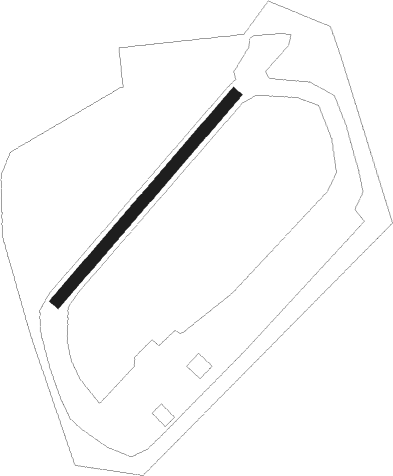
Ses Salines - Ses Salines (s’olivó)
Airport details
| Country | Spain |
| State | Balearic Islands |
| Region | |
| Airspace | Barcelona Ctr |
| Municipality | ses Salines |
| Elevation | 164ft (50m) |
| Timezone | GMT +1 |
| Coordinates | 39.34614, 3.05632 |
| Magnetic var | |
| Type | land |
| Available since | X-Plane v10.40 |
| ICAO code | XLE001F |
| IATA code | n/a |
| FAA code | n/a |
Communication
Nearby Points of Interest:
Es Salobrar
-Na Nova
-Son Catlar
-Can Dometo
-Ajuntament de Campos
-Creu des Pou Nou
-Poblat de pescadors de s'Estelella
-winecellar cooperative
-Saint Augustine (Felanitx)
-Sant Salvador-Santueri
-Vallgornera Vell
-Es Pou Celat
-Son Alberti
-Creu des Gegant
-Creu d'en Batlet
-Creu d'en Rafil
-Creu Daurada
-Creu del Santuari de Gràcia
-Cruz Des Blanquer
-Cruz del Camí de Gràcia
-Torre del Cap Blanc
-Castell de Cabrera
-Església de la Mare de Déu de la Pau de Castellitx
-Creu de Son Rafel Mas
-Punxuat
Nearby beacons
| code | identifier | dist | bearing | frequency |
|---|---|---|---|---|
| PTC | PORTO COLOM NDB | 10.5 | 68° | 401 |
| MJV | MALLORCA VOR/DME | 14.8 | 287° | 113.30 |
| PA | PALMA DE MALLORCA NDB | 18.7 | 317° | 307 |
| CST | COSTIX (PALMA DE MALLORCA) NDB | 18.8 | 335° | 351 |
| JOA | PALMA SON SANT JOAN VOR/DME | 19.4 | 305° | 117.70 |
| SSJ | SON SAN JUAN/PALMA DE MAL TACAN | 19.7 | 303° | 108.40 |
| CDP | CAPDEPERA VOR/DME | 27.4 | 47° | 112.90 |
| ADX | ANDRAITX NDB | 32.9 | 287° | 384 |
| POS | POLLENSA VOR/DME | 35 | 6° | 116.40 |
Disclaimer
The information on this website is not for real aviation. Use this data with the X-Plane flight simulator only! Data taken with kind consent from X-Plane 12 source code and data files. Content is subject to change without notice.