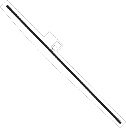
Sevilla - Altarejos-guadalcanal
Airport details
| Country | Spain |
| State | Andalusia |
| Region | LE |
| Airspace | Madrid Ctr |
| Municipality | Guadalcanal |
| Elevation | 1941ft (592m) |
| Timezone | GMT +1 |
| Coordinates | 38.17100, -5.73900 |
| Magnetic var | |
| Type | land |
| Available since | X-Plane v10.32 |
| ICAO code | XLE001J |
| IATA code | n/a |
| FAA code | n/a |
Communication
Nearby Points of Interest:
iglesia de Nuestra Señora de la Consolación
-Church of Nuestra Señora de Gracia, Berlanga
-Tower of the church of Our Lady of the Conception, Granja de Torrehermosa
-Muralla urbana de Llerena
-Iglesia del Antiguo Convento de San Francisco
-Peñarroya-Pueblonuevo train station
-Iglesia de Nuestra Señora del Rosario (Peñarroya-Pueblonuevo)
-Hospital minero de la Sociedad Minera y Metalúrgica de Peñarroya
-Cerco Industrial
-Dirección de la Sociedad Minera y Metalúrgica de Peñarroya
-Círculo Franco-Español
-iglesia de la Purísima Concepción
-iglesia del Salvador
-Castillo de Setefilla
-Ermita de Nuestra Señora de Setefilla
Nearby beacons
| code | identifier | dist | bearing | frequency |
|---|---|---|---|---|
| HIJ | HINOJOSA DEL DUQUE VOR/DME | 36.2 | 62° | 114.70 |
| SVL | SEVILLE VOR/DME | 44.6 | 182° | 113.70 |
| SPP | SEVILLE NDB | 45.2 | 184° | 420 |
| CDB | CORDOBA VOR/DME | 46.4 | 110° | 112.40 |
| EEC | EL COPERO (SEVILLA) NDB | 53 | 197° | 327 |
| MRN | MORON (SEVILLE) VOR/DME | 60 | 173° | 115.50 |
Disclaimer
The information on this website is not for real aviation. Use this data with the X-Plane flight simulator only! Data taken with kind consent from X-Plane 12 source code and data files. Content is subject to change without notice.
