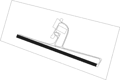
Avinyonet Del Penedès - Avinyonet
Airport details
| Country | Spain |
| State | Catalonia |
| Region | |
| Airspace | Barcelona Ctr |
| Municipality | Avinyonet del Penedès |
| Elevation | 837ft (255m) |
| Timezone | GMT +1 |
| Coordinates | 41.36829, 1.76466 |
| Magnetic var | |
| Type | land |
| Available since | X-Plane v10.32 |
| ICAO code | XLEX1 |
| IATA code | n/a |
| FAA code | n/a |
Communication
| Avinyonet Tower | 123.500 |
Nearby Points of Interest:
Cal Fontanals
-La Serra Vella
-Mas Condal
-Cal Vicenç
-Cal Ton de la Carme
-Cal Moreró
-Can Montargull
-Rectoria de Sant Cugat Sesgarrigues
-Cal Peretes
-La Serra
-La Caseta
-Cal Masover (Sant Cugat Sesgarrigues)
-La Sala Municipal
-El Forn
-Societat la Parra
-Ca l'Amat
-Cal Suau
-Centres culturals dels nuclis d'Avinyonet
-Ca l'Esteve (Avinyonet del Penedès)
-Cal Bou
-Casa de la Vila d'Avinyonet del Penedès
-Creu del Padró
-Montargull
-Cal Borrut
Nearby beacons
| code | identifier | dist | bearing | frequency |
|---|---|---|---|---|
| VNV | VILLANUEVA NDB | 9.8 | 200° | 380 |
| VLA | VILLAFRANCA VOR/DME | 9.9 | 263° | 113.15 |
| PRA | EL PRAT VOR/DME | 15.1 | 105° | 114.30 |
| BCN | BARCELONA VOR/DME | 15.9 | 100° | 116.70 |
| SLL | SABADELL VOR/DME | 18 | 66° | 112 |
| RES | REUS VOR/DME | 29.8 | 250° | 114.20 |
| RUS | REUS NDB | 30.9 | 250° | 424 |
| CLE | CALELLA VOR/DME | 42.3 | 73° | 115.35 |
Disclaimer
The information on this website is not for real aviation. Use this data with the X-Plane flight simulator only! Data taken with kind consent from X-Plane 12 source code and data files. Content is subject to change without notice.
