Harricourt - Harricourt La Gonio
Airport details
| Country | France |
| State | Grand Est |
| Region | LF |
| Airspace | Paris Ctr |
| Municipality | Colombey-les-Deux-Églises |
| Elevation | 1212ft (369m) |
| Timezone | GMT +1 |
| Coordinates | 48.27996, 4.91241 |
| Magnetic var | |
| Type | land |
| Available since | X-Plane v10.40 |
| ICAO code | XLF000Q |
| IATA code | n/a |
| FAA code | n/a |
Communication
Nearby Points of Interest:
Hôtel de Ville de Bar-sur-Aube
-hôtel de ville de Soulaines-Dhuys
-Pont Henri IV
-Clairvaux Abbey
-Mairie de Chaumont
-Chapelle du collège des Jésuites de Chaumont
-Halles de Chaumont
-Croix de Vallentigny
-Abbaye de la Crête
-Hôtel de ville de Brienne-le-Château
-Halles de Brienne-le-Château
-Hôpital de la Charité de Brienne-le-Château
-Fonderie du Val d'Osne
-étangs de la Champagne humide
-ponts de l'Abattoir
-Maison, 17 rue Émile Giros (Saint-Dizier)
-Maison, 31 rue Émile Giros
-Halle de Lesmont
-Abbaye d'Écurey
-Commanderie d'Épailly
-Moulin de Bar-sur-Seine
-église de Géraudot
-halle de Piney
-Mosaics of the basilica of Grand
-Villeneuve (Bar-sur-Seine) watermill
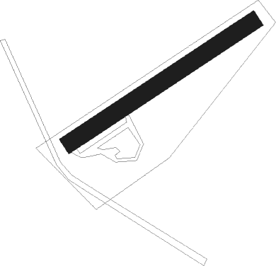
Runway info
| Runway 06 / 24 | ||
| length | 186m (610ft) | |
| bearing | 70° / 250° | |
| width | 15m (49ft) | |
| surface | grass | |
Nearby beacons
| code | identifier | dist | bearing | frequency |
|---|---|---|---|---|
| SDI | SAINT DIZIER ROBINSON TACAN | 21.4 | 356° | 114 |
| RLP | ROLAMPONT VOR/DME | 26.1 | 138° | 117.30 |
| TY | TROYES NDB | 36.9 | 278° | 320 |
| CVT | CHALONS NDB | 37.2 | 309° | 347 |
| TRO | TROYES BARBEREY VOR | 37.9 | 268° | 116 |
| CAV | CHALONS VOR/DME | 42.8 | 303° | 111.65 |
| VAT | CHALONS NDB | 47.3 | 300° | 367 |
| ETN | ETAIN NDB | 64.4 | 39° | 410 |
Disclaimer
The information on this website is not for real aviation. Use this data with the X-Plane flight simulator only! Data taken with kind consent from X-Plane 12 source code and data files. Content is subject to change without notice.