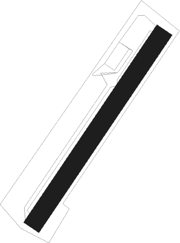
Rémeling
Airport details
| Country | France |
| State | Grand Est |
| Region | LF |
| Airspace | Reims Ctr |
| Municipality | Rémeling |
| Elevation | 1017ft (310m) |
| Timezone | GMT +1 |
| Coordinates | 49.41064, 6.47494 |
| Magnetic var | |
| Type | land |
| Available since | X-Plane v10.40 |
| ICAO code | XLF001G |
| IATA code | n/a |
| FAA code | n/a |
Communication
| Rémeling ATC Freq | 123.500 |
Nearby beacons
| code | identifier | dist | bearing | frequency |
|---|---|---|---|---|
| MTZ | METZ NDB | 13.1 | 243° | 354 |
| LE | LUXEMBOURG NDB | 16.3 | 315° | 318 |
| LUX | LUXEMBOURG VOR/DME | 16.3 | 315° | 112.25 |
| ELU | LUXEMBOURG NDB | 16.8 | 336° | 368 |
| LW | LUXEMBOURG NDB | 16.8 | 304° | 404 |
| WLU | LUXEMBOURG NDB | 18.9 | 290° | 346 |
| LOU | LORRAINE NDB | 26 | 206° | 388 |
| GTQ | GROSTENQUIN VOR/DME | 27.1 | 150° | 111.25 |
| SAD | DME | 27.7 | 107° | 116.75 |
| DIK | DIEKIRCH NDB | 30.2 | 323° | 307 |
| SR | ENSHEIM (SAARBRUECKEN) NDB | 31.3 | 105° | 360 |
| ETN | ETAIN NDB | 33.1 | 257° | 410 |
| SPA | SPANGDAHLEM TACAN | 35.2 | 21° | 109.50 |
| ZWN | ZWEIBRUECKEN VOR/DME | 38.4 | 101° | 114.80 |
| FHH | DME | 44.1 | 56° | 117.35 |
| HAN | HAHN NDB | 45.7 | 55° | 376 |
| PHG | PHALSBOURG NDB | 48 | 132° | 424 |
| BUE | BUECHEL TACAN | 51.5 | 38° | 117.10 |
| SAV | SAVERNE VOR/DME | 53.1 | 122° | 110.45 |
| NAY | NANCY OCHEY TACAN | 53.7 | 212° | 116.80 |
Disclaimer
The information on this website is not for real aviation. Use this data with the X-Plane flight simulator only! Data taken with kind consent from X-Plane 12 source code and data files. Content is subject to change without notice.
