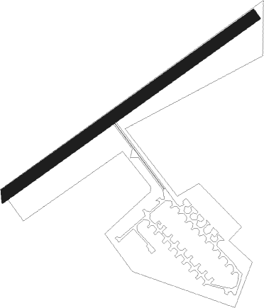
Verchocq
Airport details
| Country | France |
| State | Hauts-de-France |
| Region | LF |
| Airspace | Paris Ctr |
| Municipality | Verchocq |
| Elevation | 574ft (175m) |
| Timezone | GMT +1 |
| Coordinates | 50.54064, 2.03391 |
| Magnetic var | |
| Type | land |
| Available since | X-Plane v10.40 |
| ICAO code | XLF002D |
| IATA code | n/a |
| FAA code | n/a |
Communication
| Verchocq ATC Freq | 123.500 |
Nearby Points of Interest:
Belfry of Hesdin
-Abbaye Saint-Jean-du-Mont de Thérouanne
-Église Saint-Wulphy de Montreuil
-Abbaye de Saint-André-du-Bois
-hôtel du Maréchal d'Acary-de-la-Rivière
-monument aux morts de la guerre de 1870
-hôtel-Dieu de Montreuil
-caves médiévales de Montreuil
-orphelinat de Montreuil
-city walls of Montreuil
-maisons adossées aux anciens remparts de Montreuil
-hôtel Loysel Le Gaucher
-hôtel de Longvilliers
-monument aux morts de 1914-1918 de Montreuil
-maison à pans de bois de Montreuil
-château de Rosamel
-Abbaye Sainte-Colombe de Blendecques
-Abbaye de Dommartin
-Église Saint-Jacques-le-Majeur-et-Saint-Ignace d'Aire-sur-la-Lys
-Château de Colembert
-Château de Dompierre-sur-Authie
-Château de la Tour
-Refuge de l'abbaye Saint-Augustin de Clarques
-Bailiwick of Aire-sur-la-Lys
-City walls of Aire-sur-la-Lys
Nearby beacons
| code | identifier | dist | bearing | frequency |
|---|---|---|---|---|
| BNE | BOULOGNE SUR MER VOR | 6.9 | 304° | 113.80 |
| MVC | MERVILLE NDB | 21.1 | 87° | 327 |
| ING | SAINT INGLEVERT NDB | 23.3 | 320° | 387 |
| ABB | ABBEVILLE VOR/DME | 25.3 | 204° | 108.45 |
| MRV | MERVILLE NDB | 26.7 | 79° | 404 |
| MK | CALAIS-DUNKERQUE NDB | 27.3 | 3° | 418 |
| KOK | KOKSY VORTAC | 40.7 | 48° | 114.50 |
| ABY | ALBERT BRAY NDB | 45.1 | 126° | 321 |
| DVR | DOVER VOR/DME | 45.2 | 313° | 114.95 |
| GI | AMIENS NDB | 45.3 | 147° | 339 |
| DD | OOSTENDE (OOSTENDE-BRUGGE) NDB | 49.6 | 51° | 352 |
| DPE | DIEPPE VOR | 49.6 | 235° | 115.80 |
| OO | OOSTENDE (OOSTENDE-BRUGGE) NDB | 51.8 | 53° | 375 |
| DSA | DIEPPE NDB | 53.8 | 235° | 351 |
| ONO | OOSTENDE NDB | 55.1 | 55° | 399 |
| MTD | MONTDIDIER VOR | 61.8 | 155° | 113.65 |
Disclaimer
The information on this website is not for real aviation. Use this data with the X-Plane flight simulator only! Data taken with kind consent from X-Plane 12 source code and data files. Content is subject to change without notice.