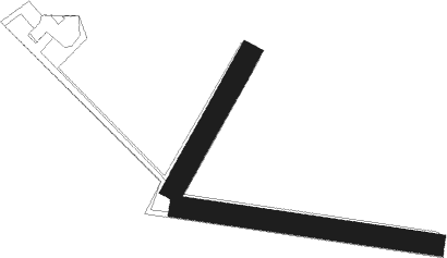
Ovillers-la-boisselle - La Boisselle
Airport details
| Country | France |
| State | Hauts-de-France |
| Region | LF |
| Airspace | Paris Ctr |
| Municipality | Ovillers-la-Boisselle |
| Elevation | 915ft (279m) |
| Timezone | GMT +1 |
| Coordinates | 50.01578, 2.68817 |
| Magnetic var | |
| Type | land |
| Available since | X-Plane v10.40 |
| ICAO code | XLF002E |
| IATA code | n/a |
| FAA code | n/a |
Communication
Nearby Points of Interest:
Lochnagar mine
-château d'Heilly
-Grès de Saint-Martin
-Monument allemand de Flaucourt
-église Saint-Martin de Béhencourt
-Château de Couin
-Ancienne collégiale Saint-Étienne de Corbie
-Église Saint-Gilles de Fréchencourt
-église Saint-Pierre de Moislains
-Église Saint-Jean-Baptiste de Mirvaux
-Église Saint-Didier de Chaulnes
-église Saint-Léger de Glisy
-Église de la Nativité-de-la-Sainte-Vierge de Coisy
-marais et tourbières des vallées de la Somme et de l’Avre
-église de Poulainville
-Château de Varlemont
-Longueau depot
-moulin du Belcan
-moulin Westmolen
-Belfry of Doullens
-piscine Léon-Pille
-Église du Cœur-Immaculé-de-Marie d'Amiens
-Église Saint-Pierre d'Amiens
-Église du Sacré-Cœur d'Amiens
-gisement préhistorique de Cagny
Nearby beacons
| code | identifier | dist | bearing | frequency |
|---|---|---|---|---|
| ABY | ALBERT BRAY NDB | 5.2 | 108° | 321 |
| GI | AMIENS NDB | 13 | 230° | 339 |
| CMB | CAMBRAI EPINOY VOR/DME | 21.9 | 65° | 112.60 |
| MTD | MONTDIDIER VOR | 28.8 | 203° | 113.65 |
| VS | VALENCIENNES NDB | 32.6 | 63° | 317 |
| ABB | ABBEVILLE VOR/DME | 32.9 | 278° | 108.45 |
| MVC | MERVILLE NDB | 33.6 | 350° | 327 |
| LEQ | LILLE LESQUIN VOR/DME | 36.2 | 36° | 109 |
| MRV | MERVILLE NDB | 39.3 | 2° | 404 |
| LL | LILLE NDB | 39.4 | 43° | 332 |
| BOV | BEAUVAIS TILLE VOR/DME | 40.5 | 223° | 109.65 |
| BV | BEAUVAIS NDB | 40.5 | 231° | 391 |
| BNE | BOULOGNE SUR MER VOR | 47.2 | 308° | 113.80 |
| BSN | DME | 51.7 | 156° | 114.85 |
| CGN | (PARIS) DME | 60.2 | 191° | 115.35 |
| PON | PONTOISE CORMEILLES EN VE VOR | 60.7 | 215° | 111.60 |
| CTL | CHATILLON SUR MARNE VOR/DME | 63 | 135° | 117.60 |
| ING | SAINT INGLEVERT NDB | 63.4 | 313° | 387 |
| MK | CALAIS-DUNKERQUE NDB | 63.6 | 327° | 418 |
| MAK | MACKEL NDB | 64.8 | 40° | 360 |
Disclaimer
The information on this website is not for real aviation. Use this data with the X-Plane flight simulator only! Data taken with kind consent from X-Plane 12 source code and data files. Content is subject to change without notice.

