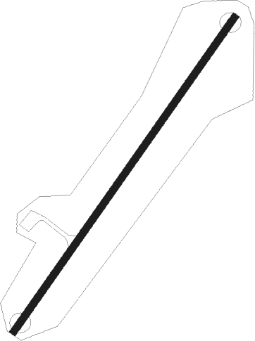
Saint Cyr La Campagne
Airport details
| Country | France |
| State | Normandy |
| Region | LF |
| Airspace | Paris Ctr |
| Municipality | Saint-Cyr-la-Campagne |
| Elevation | 370ft (113m) |
| Timezone | GMT +1 |
| Coordinates | 49.25096, 1.02609 |
| Magnetic var | |
| Type | land |
| Available since | X-Plane v10.40 |
| ICAO code | XLF002I |
| IATA code | n/a |
| FAA code | n/a |
Communication
| Saint Cyr La Campagne ATC Freq | 123.500 |
Nearby Points of Interest:
synagogue d'Elbeuf
-Croix de Surtauville
-Villa du Val-Caron
-Grange dîmière de Daubeuf-la-Campagne
-Croix du Thuit-Signol
-Croix de Saint-Pierre-du-Bosguérard
-kiosque à musique
-Convent of Saint-Louis-Sainte-Élisabeth
-Menhir de la Basse-Crémonville
-Manoir de Marbeuf
-Croix de Léry
-Auberge du Grand Chouquet Royal
-Pont des Planches
-Croix de cimetière de Saint-Ouen-de-Thouberville
-Chapelle Notre-Dame-de-la-Ronce
-Grande île
-Prieuré Saint-Crespin de Romilly-sur-Andelle
-Chantiers de Normandie
-Caserne Tallandier
-hôtel du département de Seine-Maritime
-Halle aux toiles
-Fierte Saint-Romain
-Palais des Consuls
-Reconstruction de Rouen
-Caserne Jeanne d'Arc
Nearby beacons
| code | identifier | dist | bearing | frequency |
|---|---|---|---|---|
| EVX | EVREUX FAUVILLE VORTAC | 15.2 | 138° | 112.40 |
| ROU | ROUEN VALLEE DE SEINE VOR | 16.2 | 50° | 116.80 |
| DVL | DEAUVILLE NORMANDIE VOR | 28.1 | 275° | 110.20 |
| LGL | L'AIGLE VOR/DME | 33.8 | 227° | 112.70 |
| DSA | DIEPPE NDB | 37.9 | 5° | 351 |
| LHO | LE HAVRE NDB | 39 | 292° | 346 |
| DPE | DIEPPE VOR | 40.8 | 12° | 115.80 |
| HOL | VILLACOUBLAY NDB | 44.2 | 123° | 315 |
| EPR | EPERNON VOR/DME | 45 | 135° | 115.65 |
| CHW | CHARTRES VOR/DME | 46.3 | 183° | 115.20 |
| RBT | RAMBOUILLET VOR/DME | 52.3 | 122° | 114.70 |
| CNE | CAEN NDB | 53.5 | 264° | 404 |
| CAN | CAEN CARPIQUET VOR/DME | 58.3 | 267° | 114.45 |
| ABB | ABBEVILLE VOR/DME | 62 | 43° | 108.45 |
Disclaimer
The information on this website is not for real aviation. Use this data with the X-Plane flight simulator only! Data taken with kind consent from X-Plane 12 source code and data files. Content is subject to change without notice.
