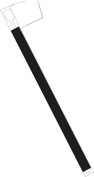
Hugleville-en-caux - Pavilly
Airport details
| Country | France |
| State | Normandy |
| Region | LF |
| Airspace | Paris Ctr |
| Municipality | Hugleville-en-Caux |
| Elevation | 499ft (152m) |
| Timezone | GMT +1 |
| Coordinates | 49.60210, 0.98690 |
| Magnetic var | |
| Type | land |
| Available since | X-Plane v10.40 |
| ICAO code | XLF002Q |
| IATA code | n/a |
| FAA code | n/a |
Communication
Nearby Points of Interest:
Barentin Viaduct
-Cleres Zoological Park
-Cour du Mont
-Ancienne église Saint-Jacques-du-Mont-aux-Malades (Mont-Saint-Aignan)
-Croix de carrefour de La Crique
-Château d'eau-marégraphe (quai Ferdinand-de-Lesseps)
-Abbaye de Saint-Amand, Rouen
-Hôtel-Dieu à Rouen
-Prefecture hotel of Seine-Maritime
-Hôtel Levavasseur
-Immeuble le Métropole
-hôtel de Crosne
-Hôtel de Girancourt
-Hôtel de Sacy
-Rouen Castle
-Hôtel de Franquetot
-Hôtel de l'État-Major et du Conseil de Guerre
-Hôtel Bésuel
-Château d'eau-marégraphe (quai de Boisguilbert)
-Hôtel d'Hocqueville
-first convent of the Visitation
-Maison de Jérusalem
-Fontaine Sainte-Croix-des-Pelletiers
-Hôtel Caillot de Coqueréaumont
-Couvent des Dominicains de Rouen
Nearby beacons
| code | identifier | dist | bearing | frequency |
|---|---|---|---|---|
| ROU | ROUEN VALLEE DE SEINE VOR | 14 | 115° | 116.80 |
| DSA | DIEPPE NDB | 17.2 | 19° | 351 |
| DPE | DIEPPE VOR | 20.6 | 30° | 115.80 |
| LHO | LE HAVRE NDB | 31.3 | 270° | 346 |
| DVL | DEAUVILLE NORMANDIE VOR | 31.6 | 247° | 110.20 |
| EVX | EVREUX FAUVILLE VORTAC | 35.4 | 158° | 112.40 |
| ABB | ABBEVILLE VOR/DME | 46.4 | 58° | 108.45 |
| LGL | L'AIGLE VOR/DME | 51.9 | 209° | 112.70 |
| CNE | CAEN NDB | 58.9 | 250° | 404 |
| HOL | VILLACOUBLAY NDB | 61.7 | 136° | 315 |
| CAN | CAEN CARPIQUET VOR/DME | 61.9 | 253° | 114.45 |
| EPR | EPERNON VOR/DME | 64.2 | 146° | 115.65 |
Disclaimer
The information on this website is not for real aviation. Use this data with the X-Plane flight simulator only! Data taken with kind consent from X-Plane 12 source code and data files. Content is subject to change without notice.
