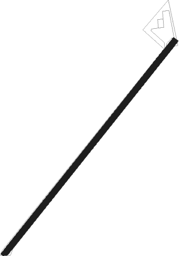
La Boissière
Airport details
| Country | France |
| State | Normandy |
| Region | LF |
| Airspace | Paris Ctr |
| Municipality | Saint-Pierre-des-Ifs |
| Elevation | 540ft (165m) |
| Timezone | GMT +1 |
| Coordinates | 49.12209, 0.13889 |
| Magnetic var | |
| Type | land |
| Available since | X-Plane v10.40 |
| ICAO code | XLF002Y |
| IATA code | n/a |
| FAA code | n/a |
Communication
Nearby Points of Interest:
Val-Richer
-Saint-Désir amphitheatre
-Fontaine de la Ferronnays
-Hôtel du Haut-Doyenné de Lisieux
-Manoir de Beuvillers
-Manoir de Bray
-Chambre de Charité de Courtonne-la-Meurdrac
-Château du Breuil-en-Auge
-Prieuré de Saint-Hymer
-Auberge du Coq-Hardi
-Abbey of Saint-Pierre-sur-Dives
-église Saint-Étienne de Reux
-Groupe scolaire Jean-Jaurès et mairie annexe de Canon
-Hôtel de ville de Pont-l'Évêque
-Siège de la vicomté d'Auge
-Tribunal
-Ancien couvent des dominicains de l'Isle
-Ancienne prison
-Hôtel Montpensier
-Château de Saint-Gervais d'Asnières
-Château de Coupigny
-Manoir Venelle-Dossin
-Couvent des Augustines d'Orbec
-Hospice d'Orbec
-Prieuré de Saint-Cyr
Nearby beacons
| code | identifier | dist | bearing | frequency |
|---|---|---|---|---|
| DVL | DEAUVILLE NORMANDIE VOR | 13.2 | 43° | 110.20 |
| CNE | CAEN NDB | 18 | 269° | 404 |
| CAN | CAEN CARPIQUET VOR/DME | 23.5 | 275° | 114.45 |
| LGL | L'AIGLE VOR/DME | 25.1 | 130° | 112.70 |
| LHO | LE HAVRE NDB | 28.6 | 5° | 346 |
| CHW | CHARTRES VOR/DME | 51.1 | 127° | 115.20 |
| DSA | DIEPPE NDB | 58.6 | 51° | 351 |
Disclaimer
The information on this website is not for real aviation. Use this data with the X-Plane flight simulator only! Data taken with kind consent from X-Plane 12 source code and data files. Content is subject to change without notice.
