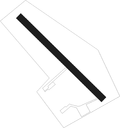
Saint-germain-de-la-coudre - Belleme St Germain De La C.
Airport details
| Country | France |
| State | Normandy |
| Region | LF |
| Airspace | Paris Ctr |
| Municipality | Saint-Germain-de-la-Coudre |
| Elevation | 520ft (158m) |
| Timezone | GMT +1 |
| Coordinates | 48.30182, 0.57937 |
| Magnetic var | |
| Type | land |
| Available since | X-Plane v11.40 |
| ICAO code | XLF0034 |
| IATA code | n/a |
| FAA code | n/a |
Communication
| Belleme St Germain de la C. ATC Freq | 123.500 |
Nearby Points of Interest:
manoir de la Fresnaye
-Château de Lonné
-Pierre procureuse
-Manoir de l'Angenardière
-Motte castrale de Garenne-de-la-Motte
-Enclos prioral de Dame-Marie
-Tuilerie des Saules
-Maison du Gouverneur, Bellême
-manoir de la Gauberdière
-Tour de l'Horloge
-Ville close de Bellême
-Château de la Prousterie
-Château de Dehault
-Manoir de Lormarin
-manoir de Barville
-Prieuré de Chênegallon
-Manoir de Courboyer
-manoir de Malaise
-manoir du Grand-Saint-Quentin
-manoir de l'Épinay
-Ancienne église de Courthioust
-Hôtel Courtin de Torsay
-Halles de La Ferté-Bernard
-manoir du Plessis
-château du Haut-Buisson
Nearby beacons
| code | identifier | dist | bearing | frequency |
|---|---|---|---|---|
| CHW | CHARTRES VOR/DME | 19.4 | 66° | 115.20 |
| LGL | L'AIGLE VOR/DME | 29.4 | 354° | 112.70 |
| LM | LE MANS NDB | 29.4 | 225° | 326 |
| CHN | CHATEAUDUN TACAN | 35.1 | 107° | 110.20 |
| CAD | CHATEAUDUN VOR/DME | 35.4 | 107° | 115.95 |
| TUR | TOURS VAL DE LOIRE NDB | 44.9 | 165° | 331 |
| BLB | BLOIS NDB | 45.2 | 135° | 397 |
| EVX | EVREUX FAUVILLE VORTAC | 50.6 | 41° | 112.40 |
| AS | ANGERS NDB | 52.5 | 225° | 392 |
| TUR | TOURS VAL DE LOIRE TACAN | 53.1 | 170° | 113.80 |
| LA | LAVAL NDB | 54.1 | 255° | 401 |
| AMB | AMBOISE VOR/DME | 55.9 | 151° | 113.70 |
| AMB | AMBOISE NDB | 56.2 | 152° | 341 |
| CNE | CAEN NDB | 60.5 | 312° | 404 |
| CAN | CAEN CARPIQUET VOR/DME | 66.4 | 310° | 114.45 |
| ANG | ANGERS VOR | 73.6 | 242° | 113 |
Disclaimer
The information on this website is not for real aviation. Use this data with the X-Plane flight simulator only! Data taken with kind consent from X-Plane 12 source code and data files. Content is subject to change without notice.
