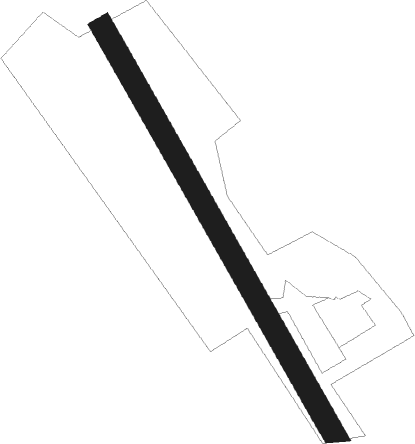
Poullaouen - Poullaouen Le Stancou
Airport details
| Country | France |
| State | Brittany |
| Region | LF |
| Airspace | Brest Ctr |
| Municipality | Poullaouen |
| Elevation | 492ft (150m) |
| Timezone | GMT +1 |
| Coordinates | 48.35905, -3.66468 |
| Magnetic var | |
| Type | land |
| Available since | X-Plane v10.40 |
| ICAO code | XLF003F |
| IATA code | n/a |
| FAA code | n/a |
Communication
| Poullaouen Le Stancou ATC Freq | 123.500 |
Nearby Points of Interest:
manoir de Locmaria
-Allée couverte de Kernescop
-Calvaire de Kerantré
-Calvary at Plougonven
-Les Jumeaux
-Colombier de Lesmoal
-Ossuaire de Gourin
-Fontaine de la Trinité-Bevzer
-Église Notre-Dame de Saint-Thégonnec
-Manufacture des tabacs de Morlaix
-Croix de Bouthiry
-Église Saint-Miliau de Guimiliau
-Château de Kéranroux
-Chapelle Neuve de Langonnet
-Ossuaire du Saint
-Calvaire du cimetière de Langonnet
-Tumulus de Kermain
-Calvaire de Guiscriff
-Île-Blanche manor
-Tumulus de l'Hermitage
-gare de Châteaulin-Ville
-Colombier du Château de Troërin
-place Plantée
-château de Coatilliau
-Abbaye Notre-Dame de Bon-Repos
Nearby beacons
| code | identifier | dist | bearing | frequency |
|---|---|---|---|---|
| ARE | MONTS D'ARREE VOR | 2.9 | 113° | 112.50 |
| LDV | LANDIVISIAU TACAN | 22 | 289° | 115.15 |
| GU | BREST NDB | 25.7 | 281° | 338 |
| LN | LANNION NDB | 25.8 | 45° | 345 |
| RQ | QUIMPER NDB | 27 | 221° | 380 |
| BST | LANVEOC POULMIC NDB | 30.9 | 264° | 428 |
| BST | LANVEOC POULMIC TACAN | 31.7 | 265° | 114.70 |
| QPR | QUIMPER PLUGUFFAN VOR/DME | 31.8 | 232° | 117.80 |
| LOR | LORIENT LANN BIHOUE NDB | 36.8 | 159° | 359 |
| LOR | LORIENT LANN BIHOUE TACAN | 36.9 | 159° | 115.80 |
| SB | SAINT BRIEUC NDB | 37.2 | 77° | 353 |
| PNT | PONTIVY NDB | 39.4 | 109° | 377 |
Disclaimer
The information on this website is not for real aviation. Use this data with the X-Plane flight simulator only! Data taken with kind consent from X-Plane 12 source code and data files. Content is subject to change without notice.
