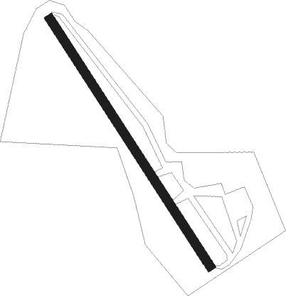
Kerfot - Kerfot La Paimpolaise
Airport details
| Country | France |
| State | Brittany |
| Region | LF |
| Airspace | Brest Ctr |
| Municipality | Kerfot |
| Elevation | 308ft (94m) |
| Timezone | GMT +1 |
| Coordinates | 48.72553, -3.02837 |
| Magnetic var | |
| Type | land |
| Available since | X-Plane v10.40 |
| ICAO code | XLF003I |
| IATA code | n/a |
| FAA code | n/a |
Communication
| Kerfot la Paimpolaise ATC Freq | 130.000 |
Nearby Points of Interest:
Aqueduc du Guindy
-Viaduc de Souzain
-château de Coatilliau
-Menhir de la Roche-Longue à Saint-Julien
-Calvaire du bourg de Trégastel
-Dolmen de l'île Renote
-Pléneuf-Val-André
-Fuseau de Margot à Plédran
-Colombier du château de la Houssaye de Quessoy
-Colombier de Lesmoal
-Îlot Saint-Michel
-Île-Blanche manor
-Site mégalithique de la Lande du Gras
-Les Jumeaux
-Allée couverte de Kernescop
Nearby beacons
| code | identifier | dist | bearing | frequency |
|---|---|---|---|---|
| LN | LANNION NDB | 11 | 269° | 345 |
| SB | SAINT BRIEUC NDB | 13.6 | 123° | 353 |
| ARE | MONTS D'ARREE VOR | 32.8 | 236° | 112.50 |
| DIN | DINARD PLEURTUIT SAINT MA VOR/DME | 38.4 | 98° | 114.30 |
| PNT | PONTIVY NDB | 41.5 | 161° | 377 |
| JW | JERSEY NDB | 42.9 | 59° | 329 |
| GUR | GUERNSEY VOR/DME | 45.8 | 31° | 109.40 |
| JSY | JERSEY VOR/DME | 48.8 | 63° | 112.20 |
| VA | VANNES NDB | 59.2 | 159° | 342 |
| RQ | QUIMPER NDB | 59.7 | 232° | 380 |
| LOR | LORIENT LANN BIHOUE NDB | 60.1 | 203° | 359 |
| LOR | LORIENT LANN BIHOUE TACAN | 60.2 | 203° | 115.80 |
| ALD | ALDERNEY NDB | 67.4 | 40° | 383 |
Disclaimer
The information on this website is not for real aviation. Use this data with the X-Plane flight simulator only! Data taken with kind consent from X-Plane 12 source code and data files. Content is subject to change without notice.
