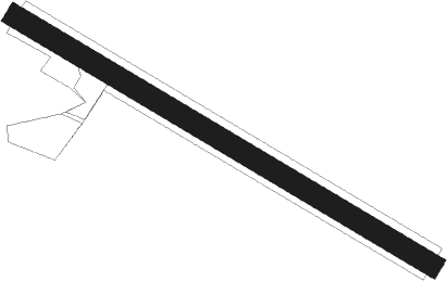
Andouillé - Andouillé Le Tertre Picard
Airport details
| Country | France |
| State | Pays de la Loire |
| Region | LF |
| Airspace | Brest Ctr |
| Municipality | Andouillé |
| Elevation | 410ft (125m) |
| Timezone | GMT +1 |
| Coordinates | 48.17872, -0.85349 |
| Magnetic var | |
| Type | land |
| Available since | X-Plane v10.32 |
| ICAO code | XLF003M |
| IATA code | n/a |
| FAA code | n/a |
Communication
| Andouillé le Tertre picard ATC Freq | 123.500 |
Nearby Points of Interest:
Grande Forge
-Pont de Pritz (Laval)
-église du Sacré-Cœur de Louverné
-Institution de l'Immaculée Conception
-Immeuble dit de Maistre Julien Briand
-Hôtel d'Argentré
-Maison de Clermont
-maison, 23 rue des Serruriers
-hôtel de Montfrand
-logis des Éperons
-Chapelle Notre-Dame de Charné (Ernée)
-Abbaye de Fontaine-Daniel
-chapelle des Calvairiennes (Mayenne)
-Hôtel Chappedelaine
-Chapelle de Loré Notre-Dame de pitié
-Palais de justice de Mayenne
-Église de Saint-Ouën-des-Vallons
-Presbytère de Montourtier
-église Saint-Martin de Deux-Évailles
-chapelle Saint-Pierre d'Argentré-du-Plessis
-Prieuré Notre-Dame de Vitré
-Fortifications of Vitré
-Hôtel du Bât
-Monastère Saint-Nicolas de Vitré
-Menhir de Saint-Civière
Nearby beacons
| code | identifier | dist | bearing | frequency |
|---|---|---|---|---|
| LA | LAVAL NDB | 14 | 139° | 401 |
| REN | RENNES SAINT JACQUES VOR/DME | 36.2 | 263° | 109.25 |
| ANG | ANGERS VOR | 38.5 | 180° | 113 |
| LM | LE MANS NDB | 44.5 | 106° | 326 |
| AS | ANGERS NDB | 45.8 | 131° | 392 |
| CNE | CAEN NDB | 60.1 | 30° | 404 |
| CAN | CAEN CARPIQUET VOR/DME | 61.7 | 22° | 114.45 |
| LGL | L'AIGLE VOR/DME | 66.2 | 66° | 112.70 |
Disclaimer
The information on this website is not for real aviation. Use this data with the X-Plane flight simulator only! Data taken with kind consent from X-Plane 12 source code and data files. Content is subject to change without notice.
