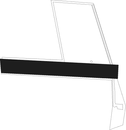
Piacé
Airport details
| Country | France |
| State | Pays de la Loire |
| Region | LF |
| Airspace | Paris Ctr |
| Municipality | Piacé |
| Elevation | 305ft (93m) |
| Timezone | GMT +1 |
| Coordinates | 48.27126, 0.10253 |
| Magnetic var | |
| Type | land |
| Available since | X-Plane v10.40 |
| ICAO code | XLF003S |
| IATA code | n/a |
| FAA code | n/a |
Communication
| Piacé ATC Freq | 123.500 |
Nearby Points of Interest:
Le vieux château, Juillé
-Commanderie du Gué-Lian
-Prieuré de Vivoin
-Ancienne école de filles de Vivoin
-Halles de René
-Chapelle Saint-Julien de Saint-Marceau
-Prieuré Saint-Martin de Sougé-le-Ganelon
-Château de Courtilloles
-Prieuré de Mayanne
-Prieuré Saint-Symphorien de Marolles-les-Braults
-Scierie Prout
-Maison 110-112 av. du Général Leclerc à Alençon
-Presbytère Saint-Pierre de Montsort
-logis Saint-Léonard
-Maison à l'Étal
-maison de la Franc-Maçonnerie
-Maison d'Ozé
-pharmacie Pesche
-café la Renaissance
-8-12 rue des Marcheries
-hôpital psychiatrique d'Alençon
-Église Saint-Jouin de Peray
-Abbaye de Champagne
-manoir de Ravigny
-Église Saint-Jean-Baptiste de Vimarcé
Nearby beacons
| code | identifier | dist | bearing | frequency |
|---|---|---|---|---|
| LM | LE MANS NDB | 22.8 | 170° | 326 |
| LGL | L'AIGLE VOR/DME | 35.5 | 39° | 112.70 |
| LA | LAVAL NDB | 36 | 249° | 401 |
| CHW | CHARTRES VOR/DME | 37.4 | 77° | 115.20 |
| AS | ANGERS NDB | 42.9 | 200° | 392 |
| TUR | TOURS VAL DE LOIRE NDB | 50.4 | 136° | 331 |
| CNE | CAEN NDB | 53.4 | 333° | 404 |
| TUR | TOURS VAL DE LOIRE TACAN | 56.9 | 143° | 113.80 |
| ANG | ANGERS VOR | 58.4 | 232° | 113 |
| CAN | CAEN CARPIQUET VOR/DME | 58.5 | 328° | 114.45 |
| AMB | AMBOISE NDB | 63.6 | 132° | 341 |
| AMB | AMBOISE VOR/DME | 63.7 | 131° | 113.70 |
Disclaimer
The information on this website is not for real aviation. Use this data with the X-Plane flight simulator only! Data taken with kind consent from X-Plane 12 source code and data files. Content is subject to change without notice.
