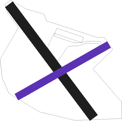
Commerveil
Airport details
| Country | France |
| State | Pays de la Loire |
| Region | LF |
| Airspace | Paris Ctr |
| Municipality | Commerveil |
| Elevation | 359ft (109m) |
| Timezone | GMT +1 |
| Coordinates | 48.31667, 0.35406 |
| Magnetic var | |
| Type | land |
| Available since | X-Plane v10.40 |
| ICAO code | XLF003U |
| IATA code | n/a |
| FAA code | n/a |
Communication
| Commerveil ATC Freq | 123.500 |
| Commerveil Dep | 123.500 |
Nearby Points of Interest:
Église Saint-Jouin de Peray
-Prieuré Saint-Symphorien de Marolles-les-Braults
-Prieuré de Mayanne
-Halles de René
-Motte castrale de Garenne-de-la-Motte
-Château de Lonné
-manoir de la Fresnaye
-Prieuré de Chênegallon
-Château de Courtilloles
-Ville close de Bellême
-Maison du Gouverneur, Bellême
-Tour de l'Horloge
-Prieuré de Vivoin
-Ancienne école de filles de Vivoin
-Le vieux château, Juillé
-Enclos prioral de Dame-Marie
-Château de Dehault
-Pierre procureuse
-Manoir de l'Angenardière
-Scierie Prout
-moulin de Buré
-Maison 110-112 av. du Général Leclerc à Alençon
-Tuilerie des Saules
-Chapelle Saint-Julien de Saint-Marceau
-Presbytère Saint-Pierre de Montsort
Nearby beacons
| code | identifier | dist | bearing | frequency |
|---|---|---|---|---|
| LM | LE MANS NDB | 26.4 | 203° | 326 |
| CHW | CHARTRES VOR/DME | 27 | 76° | 115.20 |
| LGL | L'AIGLE VOR/DME | 29.3 | 20° | 112.70 |
| LA | LAVAL NDB | 46.1 | 252° | 401 |
| TUR | TOURS VAL DE LOIRE NDB | 48.2 | 150° | 331 |
| AS | ANGERS NDB | 48.8 | 214° | 392 |
| BLB | BLOIS NDB | 51.5 | 127° | 397 |
| CNE | CAEN NDB | 54.9 | 320° | 404 |
| EVX | EVREUX FAUVILLE VORTAC | 55 | 50° | 112.40 |
| TUR | TOURS VAL DE LOIRE TACAN | 55.8 | 157° | 113.80 |
| DVL | DEAUVILLE NORMANDIE VOR | 59.7 | 358° | 110.20 |
| AMB | AMBOISE VOR/DME | 60.5 | 141° | 113.70 |
| AMB | AMBOISE NDB | 60.6 | 143° | 341 |
| CAN | CAEN CARPIQUET VOR/DME | 60.6 | 317° | 114.45 |
| ANG | ANGERS VOR | 67.4 | 237° | 113 |
Disclaimer
The information on this website is not for real aviation. Use this data with the X-Plane flight simulator only! Data taken with kind consent from X-Plane 12 source code and data files. Content is subject to change without notice.

