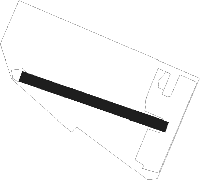
Luçon
Airport details
| Country | France |
| State | Pays de la Loire |
| Region | LF |
| Airspace | Bordeaux Ctr |
| Municipality | Luçon |
| Elevation | 11ft (3m) |
| Timezone | GMT +1 |
| Coordinates | 46.42559, -1.19633 |
| Magnetic var | |
| Type | land |
| Available since | X-Plane v11.50 |
| ICAO code | XLF004I |
| IATA code | n/a |
| FAA code | n/a |
Communication
| Luçon CTAF | 123.550 |
Nearby Points of Interest:
Category:Palais épiscopal (Luçon)
-Ponts du Port-la-Claye
-Abbaye royale de Saint-Michel-en-l'Herm
-Croix hosannière de La Jonchère
-Château de Sainte-Hermine
-Abbaye de Trizay, Bournezeau
-château de Chastellier-Barlot
-Église Saint-Julien de Petosse
-menhirs du champ de la Pierre
-domaine du Portail
-Prieuré de Sermaize
-Citadel of Saint-Martin-de-Ré
-demeure, 19, 25 rue des Gabarets
-enceinte de Saint-Martin-de-Ré
-hôtel des Cadets
-hôpital Saint-Honoré
-Porte Dauphine, La Rochelle
-Saint Catherine Church of Loix
-Hôtel du Commerce
-Hôtel de Craon
-Vauclair castle
-Maison, 3 rue Pas-du-Minage
-Maison, 1 rue Pas-du-Minage
-hôtel d'Orbigny-Bernon
-Immeuble, 13 rue Bazoges
Nearby beacons
| code | identifier | dist | bearing | frequency |
|---|---|---|---|---|
| RL | LA ROCHELLE NDB | 15.5 | 159° | 322 |
| YN | LA ROCHE SUR YON LES AJONCS NDB | 16.2 | 341° | 334 |
| ROC | ROCHEFORT NDB | 33.4 | 159° | 396 |
| GL | NANTES NDB | 42.7 | 322° | 369 |
| LP | CHOLET NDB | 45 | 27° | 357 |
| NTS | NANTES ATLANTIQUE VOR/DME | 47.3 | 330° | 115.50 |
| RY | ROYAN NDB | 50.5 | 158° | 427 |
| CGC | COGNAC CHATEAUBERNARD TACAN | 58.9 | 131° | 116.20 |
| CNA | COGNAC CHATEAUBERNARD VOR/DME | 58.9 | 131° | 114.65 |
| POI | POITIERS BIARDS VOR | 62.4 | 84° | 113.30 |
| MT | SAINT NAZAIRE NDB | 64.7 | 317° | 398 |
| PI | POITIERS NDB | 68.2 | 80° | 363 |
Disclaimer
The information on this website is not for real aviation. Use this data with the X-Plane flight simulator only! Data taken with kind consent from X-Plane 12 source code and data files. Content is subject to change without notice.