St Philibert De Bouaine
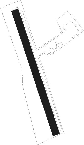
Airport details
| Country | France |
| State | Pays de la Loire |
| Region | LF |
| Airspace | Brest Ctr |
| Municipality | Saint-Philbert-de-Bouaine |
| Elevation | 82ft (25m) |
| Timezone | GMT +1 |
| Coordinates | 47.02222, -1.49276 |
| Magnetic var | |
| Type | land |
| Available since | X-Plane v10.40 |
| ICAO code | XLF004L |
| IATA code | n/a |
| FAA code | n/a |
Communication
| St Philibert de Bouaine CTAF | 123.500 |
Nearby Points of Interest:
Lac de Grand-Lieu
-Halles de Clisson
-Chapelle des Templiers
-Château de l'Oiselinière
-Radiant city
-Villa des Montis
-Hôpital Saint-Jacques
-folie de la Gibraye
-Immeuble, 8 rue Aregnaudeau
-Hôtel Durbé
-Hôtel O'Riordan
-Hôtel Deurbroucq
-Hôtel-Dieu de Nantes
-Immeuble, 13 allée de Turenne
-Maison Trochon
-Immeuble, 12 allée de Turenne
-hôtel de La Villestreux
-Immeuble, 3 rue Du Guesclin (Nantes)
-Immeuble, 20 rue de l'Héronnière
-Immeuble, 2 rue des Cadeniers
-Immeuble, 9 quai Turenne
-hôtel Grou
-Immeuble, 10 allée de Turenne
-Immeuble, 8 quai Turenne
-Immeuble, 19 rue Kervégan (Nantes)
Nearby beacons
| code | identifier | dist | bearing | frequency |
|---|---|---|---|---|
| GL | NANTES NDB | 8.1 | 279° | 369 |
| NTS | NANTES ATLANTIQUE VOR/DME | 9.6 | 319° | 115.50 |
| YN | LA ROCHE SUR YON LES AJONCS NDB | 21.7 | 148° | 334 |
| LP | CHOLET NDB | 27.5 | 80° | 357 |
| MT | SAINT NAZAIRE NDB | 29.2 | 299° | 398 |
| ANG | ANGERS VOR | 40.4 | 51° | 113 |
| RL | LA ROCHELLE NDB | 53.3 | 155° | 322 |
| LA | LAVAL NDB | 66.1 | 40° | 401 |
Disclaimer
The information on this website is not for real aviation. Use this data with the X-Plane flight simulator only! Data taken with kind consent from X-Plane 12 source code and data files. Content is subject to change without notice.