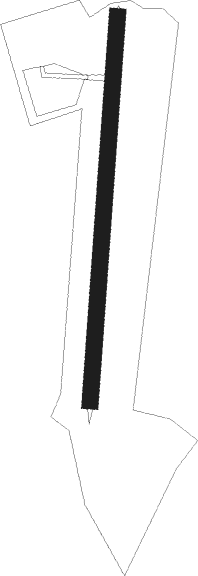
Souvigné - Les Bardellières
Airport details
| Country | France |
| State | Centre-Val de Loire |
| Region | LF |
| Airspace | Paris Ctr |
| Municipality | Souvigné |
| Elevation | 358ft (109m) |
| Timezone | GMT +1 |
| Coordinates | 47.49677, 0.43746 |
| Magnetic var | |
| Type | land |
| Available since | X-Plane v10.40 |
| ICAO code | XLF006U |
| IATA code | n/a |
| FAA code | n/a |
Communication
| Les Bardellières CTAF | 123.500 |
Nearby Points of Interest:
Domaine de la Donneterie
-Aqueduct of Luynes
-Grange dimière de la Merrie
-Prieuré de Saint-Venant
-Presbytère de Saint-Pierre-de-Chevillé
-Prieuré de Dissay-sous-Courcillon
-Château du Petit-Perray
-Logis de Lizardière
-Rotonde ferroviaire de Montabon
-château du Pilorget
-Couvent des Capucins de Tours
-Bretonneau hospital
-maison du Dauphin
-Toll houses in Tours
-Hôtel de Choiseul
-couvent des Carmes de Tours
-Hôtel Viot
-hôtel, 16 rue Littré
-Hôtel de l'Arbalète
-hôtel, 6, 8 rue de l'Arbalète
-Portail de la trésorerie Saint-Martin
-église Saint-Clément de Tours
-Oratoire des Briçonnets
-Abbaye de Beaumont
-Hôtel de la Monnaie, Tours
Nearby beacons
| code | identifier | dist | bearing | frequency |
|---|---|---|---|---|
| TUR | TOURS VAL DE LOIRE TACAN | 12.7 | 104° | 113.80 |
| TUR | TOURS VAL DE LOIRE NDB | 14.5 | 79° | 331 |
| AS | ANGERS NDB | 24.3 | 278° | 392 |
| AMB | AMBOISE NDB | 24.9 | 97° | 341 |
| AMB | AMBOISE VOR/DME | 25.7 | 96° | 113.70 |
| LM | LE MANS NDB | 26.1 | 326° | 326 |
| BLB | BLOIS NDB | 32.7 | 77° | 397 |
| PI | POITIERS NDB | 47.6 | 182° | 363 |
| CHN | CHATEAUDUN TACAN | 50.5 | 59° | 110.20 |
| CAD | CHATEAUDUN VOR/DME | 51 | 59° | 115.95 |
| ANG | ANGERS VOR | 52.3 | 272° | 113 |
| LA | LAVAL NDB | 53.4 | 293° | 401 |
| POI | POITIERS BIARDS VOR | 55.2 | 189° | 113.30 |
| LP | CHOLET NDB | 56.3 | 254° | 357 |
| CHW | CHARTRES VOR/DME | 63 | 29° | 115.20 |
Disclaimer
The information on this website is not for real aviation. Use this data with the X-Plane flight simulator only! Data taken with kind consent from X-Plane 12 source code and data files. Content is subject to change without notice.
