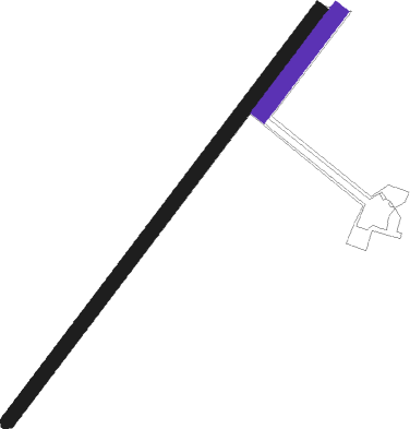
Levroux - Grange Dieu Levroux
Airport details
| Country | France |
| State | Centre-Val de Loire |
| Region | LF |
| Airspace | Bordeaux Ctr |
| Municipality | Levroux |
| Elevation | 540ft (165m) |
| Timezone | GMT +1 |
| Coordinates | 46.95641, 1.65543 |
| Magnetic var | |
| Type | land |
| Available since | X-Plane v10.40 |
| ICAO code | XLF006Z |
| IATA code | n/a |
| FAA code | n/a |
Communication
| Grange Dieu Levroux CTAF | 123.500 |
Nearby Points of Interest:
Couvent des Cordeliers de Châteauroux
-Château du Parc
-Porte de Châteauroux
-Abbaye Saint-Martin de Massay
-Abbaye de Beaugerais
-Prieuré de Saint-Marin de Saint-Marcel
-Mairie de Montrésor
-Ancien collège d'Argenton-sur-Creuse
-Église Saint-Denis de Condé
-Usine Matra de Romorantin
-Manoir de Cluis-Dessus
-Lanterne des morts de Ciron
-Monuments historiques in La Châtre
-Château de La Châtre
Nearby beacons
| code | identifier | dist | bearing | frequency |
|---|---|---|---|---|
| CTX | CHATEAUROUX DEOLS NDB | 6 | 98° | 428 |
| BRG | BOURGES NDB | 25.9 | 84° | 375 |
| AMB | AMBOISE VOR/DME | 37.2 | 309° | 113.70 |
| AMB | AMBOISE NDB | 37.3 | 307° | 341 |
| AVD | AVORD TACAN | 40.3 | 84° | 110.60 |
| BLB | BLOIS NDB | 46.8 | 328° | 397 |
| TUR | TOURS VAL DE LOIRE TACAN | 46.9 | 297° | 113.80 |
| LPD | MONTLUCON-GUERET NDB | 48.3 | 134° | 398 |
| TUR | TOURS VAL DE LOIRE NDB | 51 | 305° | 331 |
| LOE | LIMOGES NDB | 57.1 | 199° | 424 |
| ORS | ORLEANS SAINT DENIS DE L'HOTEL NDB | 63.5 | 31° | 322 |
Disclaimer
The information on this website is not for real aviation. Use this data with the X-Plane flight simulator only! Data taken with kind consent from X-Plane 12 source code and data files. Content is subject to change without notice.

