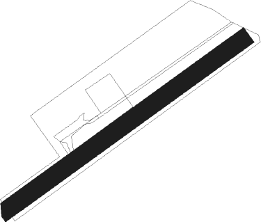
Bonnay
Airport details
| Country | France |
| State | Bourgogne-Franche-Comté |
| Region | LF |
| Airspace | Reims Ctr |
| Municipality | Bonnay |
| Elevation | 750ft (229m) |
| Timezone | GMT +1 |
| Coordinates | 47.33259, 6.03353 |
| Magnetic var | |
| Type | land |
| Available since | X-Plane v11.50 |
| ICAO code | XLF007E |
| IATA code | n/a |
| FAA code | n/a |
Communication
| Bonnay CTAF | 123.500 |
Nearby beacons
| code | identifier | dist | bearing | frequency |
|---|---|---|---|---|
| BSV | BESANCON NDB | 7.9 | 111° | 370 |
| LUL | LUXEUIL VOR | 23.8 | 36° | 117.10 |
| LXI | LUXEUIL SAINT SAUVEUR TACAN | 30 | 36° | 108.20 |
| HR | HERICOURT NDB | 31.5 | 72° | 289 |
| LPS | LES EPLATURES NDB | 34.4 | 108° | 403 |
| DO | DOLE NDB | 36.5 | 244° | 309 |
| MB | MONTBELIARD NDB | 37.6 | 79° | 330 |
| DJL | DIJON LONGVIC VOR/DME | 38.3 | 266° | 111.45 |
| LAP | PRAZ DME | 42.3 | 150° | 110.65 |
| RLP | ROLAMPONT VOR/DME | 46.8 | 306° | 117.30 |
| SPR | ST PREX VOR/DME | 54.6 | 154° | 113.90 |
| GLA | GLAND NDB | 56.1 | 167° | 375 |
| EPL | EPINAL MIRECOURT VOR | 59.1 | 2° | 113 |
| EMT | EPINAL NDB | 60.3 | 9° | 419 |
Disclaimer
The information on this website is not for real aviation. Use this data with the X-Plane flight simulator only! Data taken with kind consent from X-Plane 12 source code and data files. Content is subject to change without notice.
