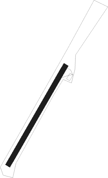
Bucey Lès Gy
Airport details
| Country | France |
| State | Bourgogne-Franche-Comté |
| Region | LF |
| Airspace | Reims Ctr |
| Municipality | Bucey-lès-Gy |
| Elevation | 1258ft (383m) |
| Timezone | GMT +1 |
| Coordinates | 47.41308, 5.86954 |
| Magnetic var | |
| Type | land |
| Available since | X-Plane v10.40 |
| ICAO code | XLF007J |
| IATA code | n/a |
| FAA code | n/a |
Communication
| Bucey lès Gy CTAF | 130.000 |
Nearby Points of Interest:
Presbytère de Bucey-lès-Gy
-Mairie-lavoir de Bucey-lès-Gy
-Gy town hall
-château de Choye
-Four banal
-Presbytère de Fondremand
-Calvaire du cimetière de Chaucenne
-Hôtel de ville de Cult
-Hôtel Terrier de Santans
-ferme de l'abbaye Notre-Dame de Corneux
-Enceinte de Placey
-Mairie-lavoir de Beaujeu
-grange cistercienne de Fontaine-Robert
-Fontaine-lavoir et cimetière de Pennesières
-fontaine-lavoir de Pennesières
-ruines romaines de Membrey
-City walls of Besançon
-Fountains of Ruhans
-Abbaye de Corcelles
-Ermitage Sainte-Cécile de Valay
-Gray
-Entrepôts Anthony
-Usine des horlogeries Dodane
-Maison Brigonnet, Besançon
-Croix-oratoire de Chaumercenne
Nearby beacons
| code | identifier | dist | bearing | frequency |
|---|---|---|---|---|
| BSV | BESANCON NDB | 16.1 | 114° | 370 |
| LUL | LUXEUIL VOR | 23.9 | 57° | 117.10 |
| LXI | LUXEUIL SAINT SAUVEUR TACAN | 29.7 | 53° | 108.20 |
| DJL | DIJON LONGVIC VOR/DME | 32.5 | 260° | 111.45 |
| DO | DOLE NDB | 34.7 | 232° | 309 |
| HR | HERICOURT NDB | 36.1 | 80° | 289 |
| RLP | ROLAMPONT VOR/DME | 38.8 | 308° | 117.30 |
| LPS | LES EPLATURES NDB | 42.5 | 110° | 403 |
| LAP | PRAZ DME | 49.5 | 144° | 110.65 |
| EPL | EPINAL MIRECOURT VOR | 54.8 | 12° | 113 |
| EMT | EPINAL NDB | 56.7 | 19° | 419 |
| SPR | ST PREX VOR/DME | 61.4 | 149° | 113.90 |
Disclaimer
The information on this website is not for real aviation. Use this data with the X-Plane flight simulator only! Data taken with kind consent from X-Plane 12 source code and data files. Content is subject to change without notice.
