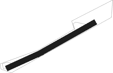
Alligny-en-morvan - Blanot
Airport details
| Country | France |
| State | Bourgogne-Franche-Comté |
| Region | LF |
| Airspace | Paris Ctr |
| Municipality | Blanot |
| Elevation | 1575ft (480m) |
| Timezone | GMT +1 |
| Coordinates | 47.17393, 4.23341 |
| Magnetic var | |
| Type | land |
| Available since | X-Plane v10.40 |
| ICAO code | XLF0088 |
| IATA code | n/a |
| FAA code | n/a |
Communication
Nearby Points of Interest:
Château de Lally
-Abbey of St. Symphorian, Autun
-rotonde ferroviaire d'Autun
-Tour de l'Horloge
-Immeuble, 1 grande-rue Marchaux
-Boucherie Saint-Louis
-Boucherie Varmenot
-Hôpital Saint-Gabriel
-Roman Theatre of Augustodunum
-Hôtel Arbelet
-Abbey Saint-Andoche d'Autun
-Couvent de la Visitation d'Autun
-Prison circulaire d'Autun
-Hôtel de Millery
-Pyramid of Couhard
-Puits Hottinguer
-château de Concley
-Poil, Nièvre - Château de Pierrefite
-Château de Moulins-Engilbert
-Tour Vauban
-Halles de Nolay (Côte-d'Or)
-Château de Cisery
-Oratoire de Belle-Croix d'Uchon
-Église de Saint-Romain, Côte-d'Or
-Remparts d'Avallon
Nearby beacons
| code | identifier | dist | bearing | frequency |
|---|---|---|---|---|
| DJL | DIJON LONGVIC VOR/DME | 35.7 | 84° | 111.45 |
| CC | CHAMPFORGEUIL NDB | 36.9 | 127° | 391 |
| MOU | MOULINS VOR/DME | 37.3 | 232° | 116.70 |
| SN | SAINT YAN NDB | 53 | 187° | 430 |
| AX | AUXERRE NDB | 53.7 | 316° | 417 |
Disclaimer
The information on this website is not for real aviation. Use this data with the X-Plane flight simulator only! Data taken with kind consent from X-Plane 12 source code and data files. Content is subject to change without notice.

