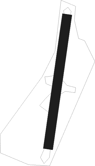
Flayosc
Airport details
| Country | France |
| State | Provence-Alpes-Côte d'Azur |
| Region | LF |
| Airspace | Marseille Ctr |
| Municipality | Flayosc |
| Elevation | 1200ft (366m) |
| Timezone | GMT +1 |
| Coordinates | 43.53693, 6.31942 |
| Magnetic var | |
| Type | land |
| Available since | X-Plane v10.40 |
| ICAO code | XLF009Q |
| IATA code | n/a |
| FAA code | n/a |
Communication
| Flayosc CTAF | 123.500 |
Nearby Points of Interest:
Domaine des Treilles
-Église Notre-Dame de Favas
-Grotte de la Baume Bonne
-Remparts de Bargème
-Église Saint-Laurent de Bargème
-Dolmen de la Verrerie-Vieille
-Missiri mosque
-Pont d'Aiguines
-Menhirs de la Ferme Lambert
-cité épiscopale de Fréjus
-Hôtel Ferrier
-Ramparts of Fréjus
-Vestiges antiques de Riez
-Port Grimaud
-Temple of Apollo in Riez
-Porte Saint-Sébastien
-Dolmen de la Gaillarde-sur-Mer
-Château Bertaud
-Couvent des Dominicains de Saint-Maximin-la-Sainte-Baume
-Tour Suffren
-Chapelle Sainte-Anne de Saint-Tropez
-Menhirs de Veyssières
-Les Puades dolmen
-South Mauvans dolmen
-South Mauvans tomb
Nearby beacons
| code | identifier | dist | bearing | frequency |
|---|---|---|---|---|
| LC | CANNET DME-ILS | 9.4 | 158° | 109.30 |
| LUC | LE LUC LE CANNET VOR/DME | 9.6 | 202° | 113 |
| LU | LE LUC NDB | 12.7 | 126° | 378 |
| MFB | BRIGNOLES NDB | 15 | 248° | 688 |
| MUS | NICE COTE D'AZUR NDB | 15.4 | 118° | 428 |
| NFA | CUERS NDB | 19.3 | 214° | 640 |
| STP | SAINT TROPEZ VOR/DME | 22.7 | 138° | 116.50 |
| CNM | CANNES VOR | 24 | 88° | 111.40 |
| HYE | HYERES LE PALYVESTRE TACAN | 27.2 | 201° | 109 |
| DGN | DIGNE VOR | 28.8 | 334° | 113.85 |
| TLN | HYERES NDB | 31.1 | 198° | 322 |
| CSC | MANDELIEU (CANNES) NDB | 31.6 | 91° | 385 |
| OB | MARSEILLE PROVENCE NDB | 33.9 | 245° | 395 |
| NC | NICE NDB | 35.3 | 86° | 338 |
| CGS | CAGNES-SUR-MER VOR/DME | 36.5 | 83° | 109.20 |
| AZR | NICE VOR/DME | 40 | 82° | 109.65 |
| ALM | AIX LES MILLES NDB | 41.5 | 268° | 413 |
| NIZ | NICE COTE D'AZUR VOR/DME | 42.9 | 76° | 112.40 |
| MRM | MARSEILLE PROVENCE VOR/DME | 44.3 | 261° | 108.80 |
| SCL | SAINT CHRISTOL NDB | 46.9 | 302° | 348 |
Disclaimer
The information on this website is not for real aviation. Use this data with the X-Plane flight simulator only! Data taken with kind consent from X-Plane 12 source code and data files. Content is subject to change without notice.
