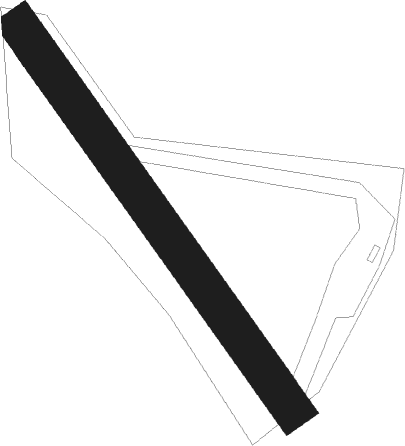
Les Vastres
Airport details
| Country | France |
| State | Auvergne-Rhône-Alpes |
| Region | LF |
| Airspace | Marseille Ctr |
| Municipality | Les Vastres |
| Elevation | 3706ft (1130m) |
| Timezone | GMT +1 |
| Coordinates | 44.98648, 4.26600 |
| Magnetic var | |
| Type | land |
| Available since | X-Plane v10.40 |
| ICAO code | XLF00CS |
| IATA code | n/a |
| FAA code | n/a |
Communication
| Les Vastres CTAF | 123.500 |
Nearby Points of Interest:
Église Saint-Romain de Mars
-Statue of Lichessol
-Église Saint-André de Saint-André-en-Vivarais
-Ravines of Corbœuf
-Porte de Besse
-hôtel de Saint-Vidal
-b&b de la prevote
-Commanderie de l'Hôpital
-hôpital général du Puy-en-Velay
-Colonne solaire du Balayn
-immeuble Jardet
-Croix de Saint-Alban-d'Ay
-Tourbière de Gimel
-Hôtel de Diane de Poitiers
-Pont Grand
-Maison Michel-Veyrenc
-Hôtel Goudard-Ruelle
-Maison Delichères
-Pont de Moulin sur Cance
-Halles de Langogne
-Filature des Calquières
-Autel de Saint-Jean-de-Muzols
-murailles romaines de Toulaud
-Fonderie de La Voulte-sur-Rhône
-viaduc de La Voulte
Nearby beacons
| code | identifier | dist | bearing | frequency |
|---|---|---|---|---|
| PY | LE PUY NDB | 19.2 | 274° | 372 |
| VE | VALENCE NDB | 30.4 | 101° | 320 |
| BO | SAINT ETIENNE NDB | 32.1 | 4° | 299 |
| MTL | MONTELIMAR ANCONE VOR/DME | 33.9 | 130° | 113.65 |
| EB | SAINT ETIENNE NDB | 39.1 | 2° | 379 |
| VNE | VIENNE REVENTIN VOR | 43 | 47° | 108.20 |
| WS | GRENOBLE NDB | 43.8 | 67° | 291 |
| BR | LYON-BRON NDB | 48.6 | 49° | 388 |
| DA | ALES CEVENNES NDB | 55.5 | 188° | 402 |
| ORG | ORANGE NDB | 56.4 | 145° | 328 |
| ORG | ORANGE TACAN | 56.9 | 145° | 109.40 |
| LSE | LYON SAINT EXUPERY VOR/DME | 57.3 | 47° | 114.75 |
| TIS | THIERS VOR/DME | 61.5 | 321° | 117.50 |
| ASM | CLERMONT-FERRAND/AUVERGNE NDB | 62.2 | 312° | 367 |
| AVN | AVIGNON VOR/DME | 62.9 | 154° | 114.60 |
Disclaimer
The information on this website is not for real aviation. Use this data with the X-Plane flight simulator only! Data taken with kind consent from X-Plane 12 source code and data files. Content is subject to change without notice.
