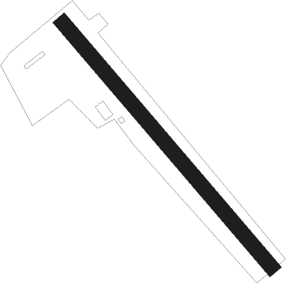
Acqui Terme
Airport details
| Country | Italy |
| State | Piedmont |
| Region | |
| Airspace | Milan Ctr |
| Municipality | Acqui Terme |
| Elevation | 469ft (143m) |
| Timezone | GMT +1 |
| Coordinates | 44.67639, 8.50278 |
| Magnetic var | |
| Type | land |
| Available since | X-Plane v10.30 |
| ICAO code | XLI0001 |
| IATA code | n/a |
| FAA code | n/a |
Communication
| Acqui Terme Acqui Terme Radio | 130.000 |
Nearby Points of Interest:
Nizza Monferrato
-Canelli
-Cittadella of Alessandria
-Praglia - Pracaban - Monte Leco - Punta Martin
-Barbaresco
-San Giovanni Battista
-Palazzo del Michelerio
-Chiesa di Sant'Andrea
-Palazzo Balbi
-villa Centurione Doria
-Tortona
-Villa Rossi Martini
-The Vineyard Landscape of Piedmont: Langhe-Roero and Monferrato
-Bassignana
-San Vincenzo
-Palazzo Gavotti
-Montferrat
-Langhe
-Villa Di Negro Rosazza dello Scoglietto
-University Library of Genoa
-Santi Gerolamo e Francesco Saverio
-Langer Heinrich (ship, 1915)
-Palazzo Fieschi-Crosa di Vergagni
-WI. MU. Museo del Vino
-Palazzo Giorgio Doria
Nearby beacons
| code | identifier | dist | bearing | frequency |
|---|---|---|---|---|
| SES | SESTRI (GENOA) VOR/DME | 20.7 | 129° | 108.60 |
| VOG | VOGHERA VOR/DME | 26.3 | 58° | 110.45 |
| VOG | VOGHERA NDB | 26.4 | 59° | 333 |
| GEN | GENOA VOR/DME | 29 | 113° | 112.80 |
| GEN | GENOA NDB | 29.1 | 114° | 318 |
| TOP | TORINO NDB | 31.1 | 291° | 392 |
| LEV | CUNEO NDB | 38.7 | 262° | 371 |
| ABN | ALBENGA NDB | 39.1 | 204° | 420 |
| ALB | ALBENGA VOR/DME | 41 | 211° | 116.95 |
| NOV | NOVARA (MILAN) NDB | 46.5 | 21° | 292 |
| CAS | CASELLE TACAN | 47.6 | 301° | 109.50 |
| CSL | CASELLE VOR/DME | 48.7 | 302° | 116.75 |
| LNE | LINATE (MILAN) NDB | 52.1 | 50° | 386 |
| MAL | MALPENSA (MILAN) NDB | 53.3 | 16° | 364 |
| CAM | CAMERI TACAN | 54 | 10° | 115 |
| LIN | LINATE (MILAN) VOR/DME | 57.4 | 45° | 112.25 |
| MMP | MALPENSA (MILAN) NDB | 58.6 | 14° | 425 |
| MMP | MALPENSA (MILAN) VOR/DME | 58.7 | 14° | 113.35 |
| SRN | SARONNO VOR/DME | 62.2 | 28° | 113.70 |
| SRN | SARONNO NDB | 62.3 | 28° | 330 |
Disclaimer
The information on this website is not for real aviation. Use this data with the X-Plane flight simulator only! Data taken with kind consent from X-Plane 12 source code and data files. Content is subject to change without notice.
