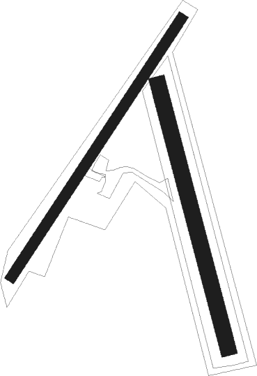
Neri - Valdarno
Airport details
| Country | Italy |
| State | Tuscany |
| Region | |
| Airspace | Rome Ctr |
| Municipality | Cavriglia |
| Elevation | 1129ft (344m) |
| Timezone | GMT +1 |
| Coordinates | 43.53045, 11.47257 |
| Magnetic var | |
| Type | land |
| Available since | X-Plane v10.40 |
| ICAO code | XLI000X |
| IATA code | n/a |
| FAA code | n/a |
Communication
| Valdarno Valdarno Info | 130.000 |
Nearby Points of Interest:
Santissima Annunziata
-San Giorgio alla Piazza
-Santi Quirico e Giulitta a Ruballa
-Santa Regina
-Santa Petronilla
-Chiesa di Santa Maria Assunta
-Palazzo Luti
-Via Camollia
-San Sebastiano
-Palazzo Palmieri, Siena
-Palazzo Bandini-Piccolomini
-Oratorio dell'Arciconfraternita della Misericordia
-Loggia della Mercanzia
-Santa Caterina in Fontebranda
-San Giacomo
-Palazzo del Magnifico
-San Niccolò in Sasso
-Archbishop's Palace
-Palazzo Marsili
-Oratorio Santa Croce a Varliano
-Palazzo Reale
-Palazzo delle papesse, centro arte contemporanea
-Palazzo Buonsignori
-Carceri di Sant'Ansano
-Corpus Domini
Nearby beacons
| code | identifier | dist | bearing | frequency |
|---|---|---|---|---|
| PRT | PERETOLA (FLORENCE) VOR/DME | 20.5 | 316° | 112.50 |
| FOL | FORLI VOR/DME | 47.4 | 42° | 115.75 |
| GRO | GROSSETO VORTAC | 49.3 | 207° | 109.85 |
| CEV | CERVIA TACAN | 55.8 | 53° | 113.60 |
Disclaimer
The information on this website is not for real aviation. Use this data with the X-Plane flight simulator only! Data taken with kind consent from X-Plane 12 source code and data files. Content is subject to change without notice.

