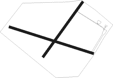
Benevento
Airport details
| Country | Italy |
| State | Campania |
| Region | |
| Airspace | Rome Ctr |
| Municipality | Benevento |
| Elevation | 655ft (200m) |
| Timezone | GMT +1 |
| Coordinates | 41.17801, 14.75115 |
| Magnetic var | |
| Type | land |
| Available since | X-Plane v10.40 |
| ICAO code | XLIBE |
| IATA code | n/a |
| FAA code | n/a |
Communication
| Benevento RADIO | 130.000 |
Nearby Points of Interest:
Arco del Sacramento, Benevento
-palazzo Paolo V
-Santa Sofía monumental complex
-Hortus Conclusus
-Torre di Montesarchio
-Morgia Sant'Angelo
-Carceri feudali
-Museo della ceramica
-Diocesan Museum of Ariano Irpino
-Museo Civico e della Ceramica
-Archivio di Stato di Avellino
-Municipal Museum and Historical Archive of Santa Maria Capua Vetere
-Campanian Provincial Museum of Capua
-Sanctuary in San Giovanni in Galdo
-Diocesan Museum San Prisco
-Casa dei Cubicoli floreali
-Casa di Laocoonte
-House of Orpheus
-Archaeological Areas of Pompei, Herculaneum and Torre Annunziata
-house of the Corinthian atrium
-Garibaldi Barracks
-Historic Centre of Naples
-Santa Maria Antesaecula
-Biblioteca dei Girolamini
-Palazzo Marigliano

Nearby beacons
| code | identifier | dist | bearing | frequency |
|---|---|---|---|---|
| POM | DME | 22.4 | 236° | 117.85 |
| NAP | (NAPLES) DME-ILS | 26.7 | 238° | 110.95 |
| GRA | GRAZZANISE TACAN | 30.7 | 260° | 117.50 |
| GRA | GRAZZANISE NDB | 30.9 | 260° | 343 |
| PTC | PONTECAGNANO (SALERNO) NDB | 34.2 | 164° | 324 |
| TEA | TEANO VOR/DME | 35.9 | 279° | 112.90 |
| FGG | FOGGIA VOR/DME | 38.3 | 72° | 115.80 |
| FOG | FOGGIA NDB | 38.3 | 72° | 340 |
| SOR | SORRENTO NDB | 40.4 | 215° | 426 |
| MNL | AMENDOLA TACAN | 47.7 | 69° | 115.25 |
Disclaimer
The information on this website is not for real aviation. Use this data with the X-Plane flight simulator only! Data taken with kind consent from X-Plane 12 source code and data files. Content is subject to change without notice.