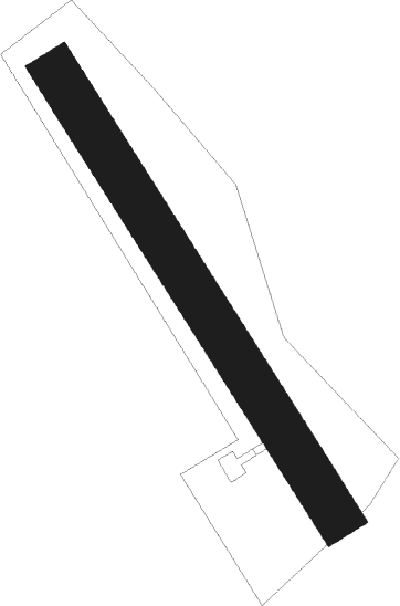
Ribnica - Andoljsek-ribnica
Airport details
| Country | Slovenia |
| State | [Other] |
| Region | |
| Airspace | Ljubljana Ctr |
| Municipality | Ribnica |
| Elevation | 1637ft (499m) |
| Timezone | GMT +1 |
| Coordinates | 45.74393, 14.71300 |
| Magnetic var | |
| Type | land |
| Available since | X-Plane v10.32 |
| ICAO code | XLJ0003 |
| IATA code | n/a |
| FAA code | n/a |
Communication
Nearby Points of Interest:
Pungart Castle
-Ribnica Castle
-Ribnica
-Cerkev Povišanja sv. Križa, Jurjevica
-Škrabec homestead
-St. Anne's Church
-Hrovača
-Assumption of Mary Church
-Ilija Hayrack
-Polzelo
-Velike Lašče
-Stritar Granary
-Čušperk Castle
-St. Bartholomew's Parish Church
-St. Nicholas's Parish Church
-Lož Castle
-St. Vincent Church
-Kravjek Castle
-Holy Cross Church
-Sts. Hermagoras and Fortunatus Parish Church
-St. Nicholas's Church in Cerovo
-St Leonard's Church
-St. Martin Church
-St Andrew's Church
-St. Paul Church
Nearby beacons
| code | identifier | dist | bearing | frequency |
|---|---|---|---|---|
| DOL | DOLSKO VOR/DME | 20.6 | 11° | 112.70 |
| BRZ | BREZA NDB | 24.6 | 229° | 400 |
| ILB | BISTRICA VOR/DME | 25.1 | 252° | 114.80 |
| MG | LJUBLJANA NDB | 26.6 | 340° | 296 |
| KO | KOZALA (RIJEKA) NDB | 27 | 213° | 438 |
| RK | CERKLJE-RAKA NDB | 29.8 | 77° | 359 |
| RJK | RIJEKA VOR/DME | 31.8 | 196° | 117.80 |
| LBL | LJUBLJANA VOR/DME | 31.9 | 330° | 117.20 |
| CL | CERKLJE-HRASTJE NDB | 34.1 | 79° | 463 |
| COK | CERKLJE VOR/DME | 35 | 79° | 108.25 |
| RI | RIJEKA (KRK ISLAND) NDB | 36.5 | 186° | 289 |
| JAP | DME | 37.5 | 90° | 117.65 |
| TNJ | TOUNJ NDB | 40 | 128° | 316 |
| KFT | KLAGENFURT VOR/DME | 51.6 | 350° | 113.10 |
| CRE | CRES NDB | 52 | 199° | 433 |
| KFT | KLAGENFURT NDB | 53.4 | 349° | 374 |
| KI | KLAGENFURT NDB | 55.1 | 340° | 313 |
| KAV | KAVRAN NDB | 59 | 220° | 265 |
| MI | OREHOVA VAS (MARIBOR) NDB | 59.6 | 54° | 355 |
| PUL | PULA VOR/DME | 61.1 | 223° | 111.25 |
| VL | VALTURA NDB | 61.7 | 224° | 320 |
| GS | PULA NDB | 62.7 | 225° | 420 |
| PLA | PULA NDB | 65.3 | 228° | 351 |
| VIW | DME | 66.1 | 320° | 112.90 |
Disclaimer
The information on this website is not for real aviation. Use this data with the X-Plane flight simulator only! Data taken with kind consent from X-Plane 12 source code and data files. Content is subject to change without notice.