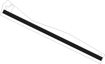
Kottingneusiedl
Airport details
| Country | Austria |
| State | Lower Austria |
| Region | |
| Airspace | Vienna Ctr |
| Municipality | Gemeinde Staatz |
| Elevation | 600ft (183m) |
| Timezone | GMT +1 |
| Coordinates | 48.69278, 16.46556 |
| Magnetic var | |
| Type | land |
| Available since | X-Plane v10.40 |
| ICAO code | XLO0001 |
| IATA code | n/a |
| FAA code | n/a |
Communication
| Kottingneusiedl Kottingneusiedl Flugplatz | 123.400 |
Nearby beacons
| code | identifier | dist | bearing | frequency |
|---|---|---|---|---|
| WGM | WAGRAM VOR/DME | 22.1 | 176° | 112.20 |
| STO | STOCKERAU VOR/DME | 24.2 | 238° | 113 |
| BNO | BRNO VOR/DME | 28.8 | 26° | 114.45 |
| LA | NAMEST NDB | 28.9 | 327° | 514 |
| B | BOREK (BRNO) NDB | 29.2 | 30° | 429 |
| TUN | TULLN NDB | 30 | 232° | 358 |
| L | NAMEST NDB | 30.1 | 326° | 362 |
| STE | STEINHOF NDB | 30.2 | 204° | 293 |
| X | NAMEST NDB | 32.7 | 323° | 362 |
| XU | NAMEST NDB | 34.1 | 322° | 563 |
| FMD | FISCHAMEND VOR/DME | 35.8 | 164° | 110.40 |
| BRK | BRUCK NDB | 39.1 | 158° | 408 |
| OKF | DESNA VOR/DME | 39.9 | 287° | 113.15 |
| OKR | STEFANIK NORTH NDB | 43.2 | 120° | 391 |
| KNE | KUNOVICE NDB | 44.3 | 70° | 434 |
| B | BARKA (BRATISLAVA) NDB | 44.9 | 125° | 438 |
| OB | STEFANIK SOUTH NDB | 48 | 125° | 330 |
| SNU | SOLLENAU VOR/DME | 49.6 | 192° | 115.50 |
Disclaimer
The information on this website is not for real aviation. Use this data with the X-Plane flight simulator only! Data taken with kind consent from X-Plane 12 source code and data files. Content is subject to change without notice.
