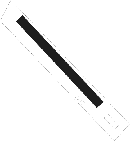
Leopoldsdorf Im Marchfelde - Leopoldsdorf
Airport details
| Country | Austria |
| State | Lower Austria |
| Region | |
| Airspace | Vienna Ctr |
| Municipality | Gemeinde Leopoldsdorf im Marchfeld |
| Elevation | 492ft (150m) |
| Timezone | GMT +1 |
| Coordinates | 48.22647, 16.67223 |
| Magnetic var | |
| Type | land |
| Available since | X-Plane v10.40 |
| ICAO code | XLO0002 |
| IATA code | n/a |
| FAA code | n/a |
Communication
Nearby beacons
| code | identifier | dist | bearing | frequency |
|---|---|---|---|---|
| FMD | FISCHAMEND VOR/DME | 7.4 | 199° | 110.40 |
| WGM | WAGRAM VOR/DME | 9.3 | 298° | 112.20 |
| BRK | BRUCK NDB | 9.9 | 165° | 408 |
| STE | STEINHOF NDB | 17 | 268° | 293 |
| B | BARKA (BRATISLAVA) NDB | 23.2 | 98° | 438 |
| OKR | STEFANIK NORTH NDB | 24.7 | 90° | 391 |
| OB | STEFANIK SOUTH NDB | 25.9 | 100° | 330 |
| SNU | SOLLENAU VOR/DME | 26.1 | 228° | 115.50 |
| TUN | TULLN NDB | 28.1 | 277° | 358 |
| STO | STOCKERAU VOR/DME | 28.5 | 286° | 113 |
| JAN | JANOVCE VOR/DME | 35 | 93° | 110.80 |
| B | BOREK (BRNO) NDB | 55.4 | 3° | 429 |
| BNO | BRNO VOR/DME | 55.4 | 1° | 114.45 |
| LA | NAMEST NDB | 58 | 332° | 514 |
| KNE | KUNOVICE NDB | 58.1 | 44° | 434 |
| CP | PAPA NDB | 58.9 | 135° | 318 |
| L | NAMEST NDB | 59.1 | 331° | 362 |
| C | PAPA NDB | 60.5 | 136° | 493 |
| PCT | PAPA VORTAC | 60.5 | 136° | 114.75 |
| X | NAMEST NDB | 61.6 | 329° | 362 |
| KUN | KUNOVICE NDB | 62.6 | 43° | 416 |
| P | PAPA NDB | 62.8 | 136° | 493 |
| XU | NAMEST NDB | 63 | 328° | 563 |
| PC | PAPA NDB | 64.4 | 137° | 318 |
| RAW | DME | 67.3 | 224° | 112.15 |
Disclaimer
The information on this website is not for real aviation. Use this data with the X-Plane flight simulator only! Data taken with kind consent from X-Plane 12 source code and data files. Content is subject to change without notice.
