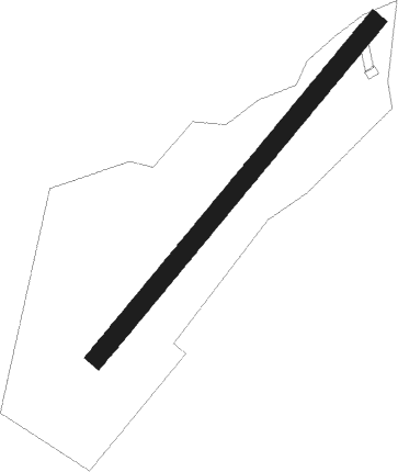
Tuzla - Tuzla/jegin Lug
Airport details
| Country | Bosnia and Herzegovina |
| State | Federation of Bosnia and Herzegovina |
| Region | LQ |
| Airspace | Sarajevo Ctr |
| Municipality | Kalesija municipality |
| Elevation | 872ft (266m) |
| Timezone | GMT +1 |
| Coordinates | 44.45833, 18.80889 |
| Magnetic var | |
| Type | land |
| Available since | X-Plane v10.40 |
| ICAO code | XLQ0006 |
| IATA code | n/a |
| FAA code | n/a |
Communication
| Tuzla/Jegin Lug Jegin Lug Info | 123.500 |
Nearby Points of Interest:
Papraća Monastery
-Tavna Monastery
-Old Pharmacy Building (Jadar Museum)
-Crkva Sv. cara Lazara (Velika Reka)
-Ozren Monastery
-Crkva Uznesenja Marijina (Olovo)
-Stolice
-Gradačac Castle
-vieille église Saint-Michel de Vareš
Nearby beacons
| code | identifier | dist | bearing | frequency |
|---|---|---|---|---|
| TZU | TUZLA VOR/DME | 3.1 | 269° | 108.80 |
| ZV | ZIVINICE NDB | 6.8 | 272° | 402 |
| TU | TUZLA NDB | 14 | 273° | 445 |
| SAR | SARAJEVO NDB | 34.9 | 214° | 375 |
| KEB | SARAJEVO VOR/DME | 35 | 214° | 116.70 |
| KIS | SARAJEVO VOR/DME | 41.5 | 239° | 116 |
| SMI | MITROVICA VOR/DME | 42.4 | 48° | 117 |
| AS | SARAJEVO NDB | 43.2 | 219° | 381 |
| IL | SARAJEVO NDB | 43.2 | 217° | 405 |
| KG | KOBILJACA (SARAJEVO) NDB | 44 | 228° | 357 |
| DER | DERVENTA VOR/DME | 47.7 | 302° | 112.40 |
| SR | PONIKVE (UZICE) NDB | 53.9 | 121° | 420 |
| OSJ | OSIJEK NDB | 59.8 | 2° | 422 |
| PV | PETROVARADIN NDB | 64.2 | 51° | 300 |
Disclaimer
The information on this website is not for real aviation. Use this data with the X-Plane flight simulator only! Data taken with kind consent from X-Plane 12 source code and data files. Content is subject to change without notice.