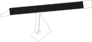
Prijedor
Airport details
| Country | Bosnia and Herzegovina |
| State | Republika Srpska |
| Region | LQ |
| Airspace | Sarajevo Ctr |
| Municipality | Приједор II / Prijedor II |
| Elevation | 555ft (169m) |
| Timezone | GMT +1 |
| Coordinates | 44.99333, 16.73528 |
| Magnetic var | |
| Type | land |
| Available since | X-Plane v10.40 |
| ICAO code | XLQ0008 |
| IATA code | n/a |
| FAA code | n/a |
Communication
| Prijedor Prijedor Info | 123.500 |
Nearby Points of Interest:
Holy Trinity church in Prijedor
-église Saint-Pierre-et-Saint-Paul de Kozarac
-Hamzibeys mosque
-Gomionica Monastery
-église de l'Ascension de Kola
-Potpećinska džamija
-Sokolski dom in Banja Luka
-Mehdi-bey Imamović mosque
-Hadži Zulfikar mosque
-Hadži Kurd džamija
-église de la Visitation-de-la-Vierge-Marie de Banja Luka
-Stupnička džamija
-Jama džamija
-Hacı Ömer Mosque, Banja Luka
-Šeranić house
-Talih džamija
-Grabska džamija
-Potok mosque
-Bosanska Krupa Castle
-Ključ na Sani
-église Saint-Nicolas de Krupa na Vrbasu
Nearby beacons
| code | identifier | dist | bearing | frequency |
|---|---|---|---|---|
| OMA | OMARSKA VOR/DME | 3.6 | 117° | 117.90 |
| KOS | KOSTAJNICA NDB | 16.6 | 321° | 316 |
| BLK | BANJA LUKA NDB | 23 | 79° | 340 |
| LU | BANJA LUKA NDB | 23.7 | 93° | 397 |
| LAK | BANJA LUKA VOR/DME | 24 | 95° | 115.30 |
| NA | BANJA LUKA NDB | 24.4 | 97° | 383 |
| VBA | BARNA VOR/DME | 48.5 | 29° | 117.40 |
| LUK | DME | 52.3 | 313° | 109.85 |
| PIS | PISAROVINA NDB | 52.6 | 304° | 424 |
| VG | VELIKA GORICA (ZAGREB) NDB | 52.8 | 317° | 325 |
| SK | S.KRALJEVEC (ZAGREB) NDB | 54.4 | 325° | 350 |
| ZAG | ZAGREB VOR/DME | 57.1 | 335° | 113.70 |
| ZAG | ZAGREB NDB | 57.3 | 335° | 367 |
Disclaimer
The information on this website is not for real aviation. Use this data with the X-Plane flight simulator only! Data taken with kind consent from X-Plane 12 source code and data files. Content is subject to change without notice.
