Ineu - Kings Land
Airport details
| Country | Romania |
| State | [Other] |
| Region | |
| Airspace | Bucharest Ctr |
| Municipality | Ineu |
| Elevation | 504ft (154m) |
| Timezone | GMT +2 |
| Coordinates | 47.08234, 22.09765 |
| Magnetic var | |
| Type | land |
| Available since | X-Plane v10.40 |
| ICAO code | XLR90 |
| IATA code | n/a |
| FAA code | n/a |
Communication
Nearby Points of Interest:
Spitalul de neuropsihiatrie
-Biserica Seminarului Greco-Catolic din Oradea
-Palatul Moskovits Adolf si fii
-Greek-Catholic episcopal palace (Oradea)
-Wooden church in Topa de Jos, Bihor
-Wooden church in Vârciorog, Bihor
-Wooden Church, Porț
-Wooden Church, Camăr
-Wooden church in Ciuntești, Arad
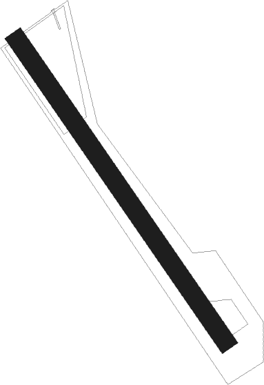
Runway info
| Runway 15 / 33 | ||
| length | 779m (2556ft) | |
| bearing | 140° / 320° | |
| width | 40m (131ft) | |
| surface | grass | |
Nearby beacons
| code | identifier | dist | bearing | frequency |
|---|---|---|---|---|
| ORA | ORADEA NDB | 7.1 | 276° | 418 |
| O | ORADEA NDB | 8 | 259° | 360 |
| C | DEBRECEN NDB | 31.2 | 308° | 326 |
| DC | DEBRECEN NDB | 31.3 | 305° | 295 |
| EN | DEBRECEN NDB | 31.8 | 318° | 383 |
| BC | BEKESCSABA NDB | 45.7 | 246° | 400 |
| SAT | SATU MARE VOR/DME | 50.4 | 51° | 108.40 |
| NY | NYIREGYHAZA 36 NDB | 52.5 | 334° | 330 |
| Y | NYIREGYHAZA 36 NDB | 55.6 | 335° | 346 |
| NYR | NYIREGYHAZA VOR/DME | 57 | 336° | 116.10 |
| PQ | NYIREGYHAZA NDB | 57.5 | 336° | 522 |
| ARD | ARAD NDB | 66.7 | 227° | 517 |
Disclaimer
The information on this website is not for real aviation. Use this data with the X-Plane flight simulator only! Data taken with kind consent from X-Plane 12 source code and data files. Content is subject to change without notice.