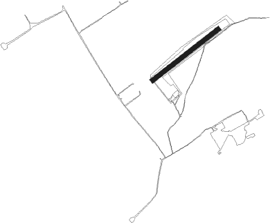
Banesti - Banesti Prahova
Airport details
| Country | Romania |
| State | PRAHOVA |
| Region | |
| Airspace | Bucharest Ctr |
| Municipality | Bănești |
| Elevation | 1211ft (369m) |
| Timezone | GMT +2 |
| Coordinates | 45.06867, 25.80656 |
| Magnetic var | |
| Type | land |
| Available since | X-Plane v10.32 |
| ICAO code | XLRBANE |
| IATA code | n/a |
| FAA code | n/a |
Communication
| BANESTI PRAHOVA ATC | 128.900 |
Nearby Points of Interest:
Mansion of Matei and Toma Cantacuzino in Filipeștii de Pădure
-Iulia Hasdeu Castle
-Biserica „Schimbarea la Față” din Moreni
-Wooden church in Luieriu
-Biserica Galbenă „Sf. Dimitrie”, „Sf. Nicolae”
-Florescu-Știrbei palace
-Biserica de lemn Starchiojd-Gărbeasca
-Biserica de lemn din Cândești Vale-Vârtop
-Biserica „Sf. Nicolae” din Ghermănești
Runway info
| Runway 06 / 24 | ||
| length | 701m (2300ft) | |
| bearing | 65° / 245° | |
| width | 40m (131ft) | |
| surface | grass | |
Nearby beacons
| code | identifier | dist | bearing | frequency |
|---|---|---|---|---|
| STJ | STREJNIC VOR/DME | 11.5 | 131° | 113.20 |
| OTL | OTOPENI (BUCHAREST) NDB | 31 | 159° | 370 |
| BRV | BRASOV VOR/DME | 31.6 | 334° | 117.60 |
| LL | OTOPENI (BUCHAREST) NDB | 31.6 | 152° | 659 |
| OPW | OTOPENI (BUCHAREST) NDB | 31.6 | 161° | 267 |
| OTR | OTOPENI (BUCHAREST) NDB | 34.1 | 138° | 318 |
| FLR | FLORESTI VOR/DME | 34.3 | 190° | 112.20 |
| OPE | OTOPENI (BUCHAREST) NDB | 34.3 | 141° | 349 |
| BSW | BANEASA (BUCHAREST) NDB | 36.3 | 166° | 521 |
| BSE | BANEASA (BUCHAREST) NDB | 37 | 142° | 256 |
| OPT | ROSIORI VOR/DME | 42.9 | 122° | 117.10 |
Disclaimer
The information on this website is not for real aviation. Use this data with the X-Plane flight simulator only! Data taken with kind consent from X-Plane 12 source code and data files. Content is subject to change without notice.
