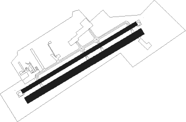
Cornetu - Clinceni
Airport details
| Country | Romania |
| State | [Other] |
| Region | LR |
| Airspace | Bucharest Ctr |
| Municipality | Clinceni |
| Elevation | 256ft (78m) |
| Timezone | GMT +2 |
| Coordinates | 44.35900, 25.93100 |
| Magnetic var | |
| Type | land |
| Available since | X-Plane v10.40 |
| ICAO code | XLRCN |
| IATA code | n/a |
| FAA code | n/a |
Communication
Nearby Points of Interest:
Obeliscul George Caranda din București
-St. Elisabeth Chapel
-Monumentul Eroilor Patriei
-Monument to Dr. Carol Davila
-Carol Park
-Statuia doctorului Constantin I. Istrati
-Bustul prof. dr. Victor Babeș din București
-Statuile „Muncitori” din București
-Statuile Giganții
-Filaret Electrical Plant
-Crematoriul Cenușa
-Flămânda Church, Bucharest
-Palace of the Patriarchate
-Biserica Sfântul Ilie - Rahova din București
-Mihai Vodă Monastery
-Matache Măcelaru Hall
-Agricola-Fonciera Building
-Ministry of Justice Palace
-Bucharest City Hall
-Palace of Justice
-Monumentul Elena Pherekyde
-Domnița Bălașa church
-Monumentul Avântul Țării din București
-strada Stavropoleos
-Strada Halelor
Nearby beacons
| code | identifier | dist | bearing | frequency |
|---|---|---|---|---|
| BSW | BANEASA (BUCHAREST) NDB | 6.8 | 11° | 521 |
| OPW | OTOPENI (BUCHAREST) NDB | 12.1 | 15° | 267 |
| FLR | FLORESTI VOR/DME | 12.8 | 302° | 112.20 |
| OTL | OTOPENI (BUCHAREST) NDB | 13 | 18° | 370 |
| LL | OTOPENI (BUCHAREST) NDB | 14.3 | 33° | 659 |
| BSE | BANEASA (BUCHAREST) NDB | 16.4 | 60° | 256 |
| OPE | OTOPENI (BUCHAREST) NDB | 17.6 | 52° | 349 |
| OTR | OTOPENI (BUCHAREST) NDB | 18.9 | 53° | 318 |
| OPT | ROSIORI VOR/DME | 30.3 | 70° | 117.10 |
| STJ | STREJNIC VOR/DME | 33.6 | 5° | 113.20 |
Disclaimer
The information on this website is not for real aviation. Use this data with the X-Plane flight simulator only! Data taken with kind consent from X-Plane 12 source code and data files. Content is subject to change without notice.

