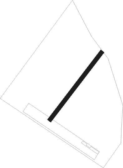
Zarnesti
Airport details
| Country | Romania |
| State | [Other] |
| Region | |
| Airspace | Bucharest Ctr |
| Municipality | Zărnești |
| Elevation | 2205ft (672m) |
| Timezone | GMT +2 |
| Coordinates | 45.56639, 25.39572 |
| Magnetic var | |
| Type | land |
| Available since | X-Plane v10.40 |
| ICAO code | XLRZARN |
| IATA code | n/a |
| FAA code | n/a |
Communication
Nearby Points of Interest:
Cumidava
-Pe Tocile Orthodox church
-Casa cu sfinți, Brașov
-Olimpia Brașov
-Știrbei palace in Brașov
-Neolog Jewish temple in Brașov
-Tartler Orphanage, Brașov
-Trausch house
-Benkner house
-Filstich-Plecker house
-Cziegler house, Brașov
-Closius–Hiemesch–Giesel houses
-Czell palace
-Seuler house
-Council House
-Brașov fortress
-Czeides house
-Schobeln house
-Transilvania University rectorate
-Hanul Roșu
-Jekelius house, Brașov
-Franciscan Church, Brașov
-Birthplace of Johannes Honter
-Saint Martin's church in Brașov
-Brașov Central Post Office
Nearby beacons
| code | identifier | dist | bearing | frequency |
|---|---|---|---|---|
| BRV | BRASOV VOR/DME | 7.1 | 90° | 117.60 |
| CHU | CIUHII DME | 44.1 | 317° | 109.20 |
| STJ | STREJNIC VOR/DME | 46 | 138° | 113.20 |
| OTL | OTOPENI (BUCHAREST) NDB | 65 | 149° | 370 |
| LL | OTOPENI (BUCHAREST) NDB | 66 | 146° | 659 |
| OTR | OTOPENI (BUCHAREST) NDB | 68.7 | 139° | 318 |
| OPE | OTOPENI (BUCHAREST) NDB | 68.8 | 141° | 349 |
Disclaimer
The information on this website is not for real aviation. Use this data with the X-Plane flight simulator only! Data taken with kind consent from X-Plane 12 source code and data files. Content is subject to change without notice.
