Ouinné
Airport details
| Country | France |
| State | [Other] |
| Region | NW |
| Municipality | Yaté |
| Elevation | 0ft (0m) |
| Timezone | GMT +11 |
| Coordinates | -21.96663, 166.66959 |
| Magnetic var | |
| Type | land |
| Available since | X-Plane v10.40 |
| ICAO code | XNW0003 |
| IATA code | n/a |
| FAA code | n/a |
Communication
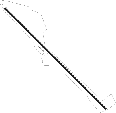
Runway info
| Runway 13 / 31 | ||
| length | 1276m (4186ft) | |
| bearing | 137° / 317° | |
| width | 13m (43ft) | |
| surface | dirt | |
Nearby beacons
| code | identifier | dist | bearing | frequency |
|---|---|---|---|---|
| MG | MAGENTA (NOUMEA) NDB | 21.2 | 213° | 394 |
| MGA | OUERE (NOUMEA) VOR/DME | 23.6 | 209° | 113 |
| LTO | TONTOUTA (NOUMEA) VOR/DME | 25.6 | 265° | 112.90 |
| FND | TONTOUTA (NOUMEA) NDB | 26.9 | 266° | 354 |
| MD | MAGENTA (NOUMEA) NDB | 32.7 | 202° | 383 |
| NW | TONTOUTA (NOUMEA) NDB | 33.1 | 273° | 325 |
| IP | ILE DES PINS NDB | 57.3 | 129° | 332 |
Disclaimer
The information on this website is not for real aviation. Use this data with the X-Plane flight simulator only! Data taken with kind consent from X-Plane 12 source code and data files. Content is subject to change without notice.