Limestone Downs - Limestone Downs Airfield
Airport details
| Country | New Zealand |
| State | Waikato |
| Region | |
| Municipality | Waikato District |
| Elevation | 548ft (167m) |
| Timezone | GMT +13 |
| Coordinates | -37.48156, 174.74979 |
| Magnetic var | |
| Type | land |
| Available since | X-Plane v10.40 |
| ICAO code | XNZ0009 |
| IATA code | n/a |
| FAA code | n/a |
Communication
Nearby Points of Interest:
Fairfield Bridge
-Claudelands Bridge
-Victoria Bridge
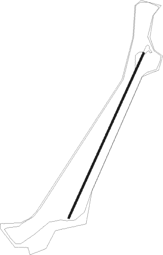
Runway info
| Runway 01 / 19 | ||
| length | 469m (1539ft) | |
| bearing | 35° / 215° | |
| width | 5m (16ft) | |
| surface | dirt | |
Nearby beacons
| code | identifier | dist | bearing | frequency |
|---|---|---|---|---|
| WI | WAIUKU NDB | 13.2 | 17° | 254 |
| SY | SURREY NDB | 24.6 | 60° | 350 |
| AA | AUCKLAND VOR/DME | 28.8 | 8° | 114.80 |
| HN | HAMILTON VOR/DME | 35.6 | 122° | 114 |
| WP | WHENUAPAI (AUCKLAND) VOR/DME | 42.1 | 350° | 116.40 |
Disclaimer
The information on this website is not for real aviation. Use this data with the X-Plane flight simulator only! Data taken with kind consent from X-Plane 12 source code and data files. Content is subject to change without notice.