Ahmed Al Jaber Air Base
Airport details
| Country | Kuwait |
| State | Ahmadi |
| Region | |
| Airspace | Kuwait Ctr |
| Elevation | 412ft (126m) |
| Timezone | GMT +3 |
| Coordinates | 28.93617, 47.79975 |
| Magnetic var | |
| Type | land |
| Available since | X-Plane v10.30 |
| ICAO code | XOK0002 |
| IATA code | n/a |
| FAA code | n/a |
Communication
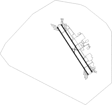
Runway info
Runway 15R / 33L  | ||
| length | 3016m (9895ft) | |
| bearing | 148° / 328° | |
| width | 40m (131ft) | |
| surface | asphalt | |
| blast zone | 255m (837ft) / 255m (837ft) | |
| Runway 15L / 33R | ||
| length | 3011m (9879ft) | |
| bearing | 148° / 328° | |
| width | 40m (131ft) | |
| surface | asphalt | |
| blast zone | 99m (325ft) / 99m (325ft) | |
Nearby beacons
| code | identifier | dist | bearing | frequency |
|---|---|---|---|---|
| KUA | KUWAIT VOR/DME | 20.4 | 26° | 114.15 |
| KFR | WAFRA VOR/DME | 20.6 | 153° | 112 |
| ASB | ALI AL SALEM VORTAC | 28.5 | 325° | 116 |
| PWR | PWR (ALI AL SALEM) TACAN | 28.5 | 325° | 135.40 |
| RAS | RAS MISHAB VORTAC | 67.1 | 136° | 116.40 |
Disclaimer
The information on this website is not for real aviation. Use this data with the X-Plane flight simulator only! Data taken with kind consent from X-Plane 12 source code and data files. Content is subject to change without notice.