Abu Dhabi Np Bus Station - Abu Al Abyad
Airport details
| Country | United Arab Emirates |
| State | Abu Dhabi Emirate |
| Region | |
| Airspace | Emirates Ctr |
| Municipality | Abu Al Abyad Island |
| Elevation | 16ft (5m) |
| Timezone | GMT +4 |
| Coordinates | 24.19266, 53.85429 |
| Magnetic var | |
| Type | land |
| Available since | X-Plane v10.30 |
| ICAO code | XOMAX |
| IATA code | n/a |
| FAA code | n/a |
Communication
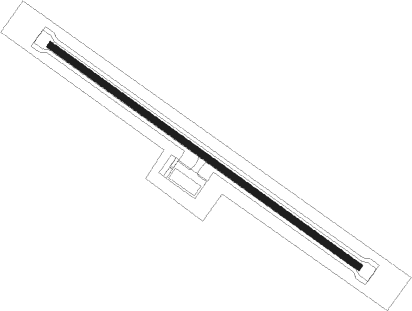
Runway info
| Runway 13 / 31 | ||
| length | 3500m (11483ft) | |
| bearing | 127° / 307° | |
| width | 60m (197ft) | |
| surface | asphalt | |
Nearby beacons
| code | identifier | dist | bearing | frequency |
|---|---|---|---|---|
| ALB | AL BATEEN (ABU DHABI) VOR/DME | 35.6 | 67° | 114 |
| BH | BUHASA NDB | 43.1 | 219° | 309 |
| ADV | ABU DHABI VOR/DME | 46.8 | 75° | 114.25 |
Disclaimer
The information on this website is not for real aviation. Use this data with the X-Plane flight simulator only! Data taken with kind consent from X-Plane 12 source code and data files. Content is subject to change without notice.