Manokotak
Airport details
| Country | United States of America |
| State | Alaska |
| Region | PA |
| Municipality | Dillingham |
| Elevation | 49ft (15m) |
| Timezone | GMT -9 |
| Coordinates | 58.93206, -158.90189 |
| Magnetic var | |
| Type | land |
| Available since | X-Plane v10.40 |
| ICAO code | XPA000C |
| IATA code | KMO |
| FAA code | MBA |
Communication
| Manokotak ASOS | 120.625 |
| Manokotak CTAF | 122.900 |
Nearby Points of Interest:
Transfiguration of Our Lord Chapel
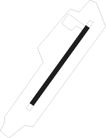
Runway info
| Runway 03 / 21 | ||
| length | 1004m (3294ft) | |
| bearing | 59° / 239° | |
| width | 50m (164ft) | |
| surface | gravel | |
| blast zone | 98m (322ft) / 95m (312ft) | |
Nearby beacons
| code | identifier | dist | bearing | frequency |
|---|---|---|---|---|
| DLG | DILLINGHAM VOR/DME | 11.4 | 80° | 116.40 |
| BTS | WOOD RIVER (DILLINGHAM) NDB | 11.6 | 79° | 429 |
Disclaimer
The information on this website is not for real aviation. Use this data with the X-Plane flight simulator only! Data taken with kind consent from X-Plane 12 source code and data files. Content is subject to change without notice.