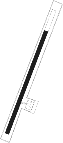
Kasaoka City - Kasaoka
Airport details
| Country | Japan |
| State | Okayama Prefecture |
| Region | |
| Airspace | Fukuoka Ctr |
| Municipality | Kasaoka |
| Elevation | 16ft (5m) |
| Timezone | GMT +9 |
| Coordinates | 34.47599, 133.48900 |
| Magnetic var | |
| Type | land |
| Available since | X-Plane v10.40 |
| ICAO code | XRJ000R |
| IATA code | n/a |
| FAA code | n/a |
Communication
Nearby Points of Interest:
Fukuju Kaikan
-Renjuku
-Tomonoura
-Jōdo-ji
-Saigō-ji
-Tennei-ji
-Onomichi Gaudí House
-Shiwaku Kinbansho
-Kurashiki Bikan Historical Quarter
-Old Ohara House
-Konpira Grand Theatre
-Shūraku-en
-Manno Lake
Runway info
| Runway 03 / 21 | ||
| length | 653m (2142ft) | |
| bearing | 30° / 210° | |
| width | 25m (82ft) | |
| surface | asphalt | |
Nearby beacons
| code | identifier | dist | bearing | frequency |
|---|---|---|---|---|
| OYE | KIBI VOR/DME | 23.7 | 52° | 111 |
| TZT | TAKAMATSU TACAN | 24.7 | 108° | 117.50 |
| HGE | HONGO (HIROSHIMA) VOR/DME | 28 | 266° | 117.90 |
| OKT | OKAYAMA TACAN | 28.5 | 70° | 115.90 |
| KTE | KAGAWA (TAKAMATSU) VOR/DME | 30.8 | 116° | 108.40 |
| STD | DME | 38.9 | 87° | 114.40 |
| MYE | MATSUYAMA VOR/DME | 55.4 | 231° | 110.65 |
| KRE | KOCHI VOR/DME | 56.9 | 168° | 113.70 |
| XZE | IZUMO VOR/DME | 63.7 | 328° | 113.40 |
Disclaimer
The information on this website is not for real aviation. Use this data with the X-Plane flight simulator only! Data taken with kind consent from X-Plane 12 source code and data files. Content is subject to change without notice.
