Hermana Mayor
Airport details
| Country | Philippines |
| State | Zambales |
| Region | |
| Airspace | Manila Ctr |
| Elevation | 38ft (12m) |
| Timezone | GMT +8 |
| Coordinates | 15.78206, 119.79301 |
| Magnetic var | |
| Type | land |
| Available since | X-Plane v10.40 |
| ICAO code | XRP0002 |
| IATA code | n/a |
| FAA code | n/a |
Communication
| Hermana Mayor CTAF | 121.900 |
Nearby Points of Interest:
Masinloc Church
-Casa Real
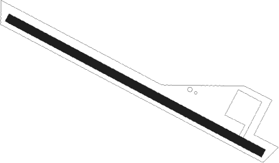
Runway info
| Runway 12 / 30 | ||
| length | 1000m (3281ft) | |
| bearing | 121° / 301° | |
| width | 27m (90ft) | |
| surface | grass | |
Nearby beacons
| code | identifier | dist | bearing | frequency |
|---|---|---|---|---|
| CIA | CLARK VOR/DME | 57 | 128° | 113.10 |
| BG | BAGUIO NDB | 59.3 | 54° | 272 |
Disclaimer
The information on this website is not for real aviation. Use this data with the X-Plane flight simulator only! Data taken with kind consent from X-Plane 12 source code and data files. Content is subject to change without notice.