Barit Island
Airport details
| Country | Philippines |
| State | Cagayan |
| Region | RP |
| Airspace | Manila Ctr |
| Municipality | Fuga Island |
| Elevation | 85ft (26m) |
| Timezone | GMT +8 |
| Coordinates | 18.86922, 121.25750 |
| Magnetic var | |
| Type | land |
| Available since | X-Plane v10.35 |
| ICAO code | XRP000E |
| IATA code | n/a |
| FAA code | n/a |
Communication
| Barit Island CTAF | 121.900 |
Runway info
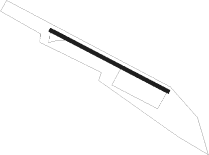
| Runway 12 / 30 | ||
| length | 516m (1693ft) | |
| bearing | 121° / 301° | |
| width | 15m (50ft) | |
| surface | grass | |
Nearby beacons
| code | identifier | dist | bearing | frequency |
|---|---|---|---|---|
| PRD | LAOAG TACAN | 45.3 | 233° | 114.10 |
| LAO | LAOAG VOR/DME | 58.6 | 227° | 112.90 |
Disclaimer
The information on this website is not for real aviation. Use this data with the X-Plane flight simulator only! Data taken with kind consent from X-Plane 12 source code and data files. Content is subject to change without notice.