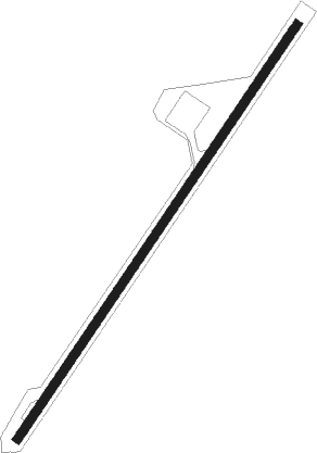
M'lang - M'lang Rural
Airport details
| Country | Philippines |
| State | North Cotabato |
| Region | RP |
| Airspace | Manila Ctr |
| Elevation | 146ft (45m) |
| Timezone | GMT +8 |
| Coordinates | 6.91280, 124.92502 |
| Magnetic var | |
| Type | land |
| Available since | X-Plane v10.40 |
| ICAO code | XRP002P |
| IATA code | n/a |
| FAA code | n/a |
Communication
| M'lang Rural CTAF | 121.900 |
Nearby beacons
| code | identifier | dist | bearing | frequency |
|---|---|---|---|---|
| AV | ALLAH VALLEY (SURALLAH) NDB | 34 | 198° | 377 |
| COT | COTABATO VOR/DME | 45.3 | 290° | 113.70 |
| DAO | DAVAO VOR/DME | 45.3 | 73° | 112.10 |
| GSA | TAMBLER VOR/DME | 51.2 | 169° | 114.50 |
Disclaimer
The information on this website is not for real aviation. Use this data with the X-Plane flight simulator only! Data taken with kind consent from X-Plane 12 source code and data files. Content is subject to change without notice.