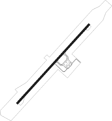
Deraga - Bicol Intl
Airport details
| Country | Philippines |
| State | Albay |
| Region | RP |
| Airspace | Manila Ctr |
| Elevation | 317ft (97m) |
| Timezone | GMT +8 |
| Coordinates | 13.11222, 123.67722 |
| Magnetic var | |
| Type | land |
| Available since | X-Plane v10.40 |
| ICAO code | XRP0042 |
| IATA code | LGP |
| FAA code | n/a |
Communication
| Bicol Intl Bicol Tower | 120.200 |
| Bicol Intl Leazpi Approach | 120.200 |
Nearby Points of Interest:
Tabaco Church
Nearby beacons
| code | identifier | dist | bearing | frequency |
|---|---|---|---|---|
| LP | LEGAZPI VOR/DME | 3.7 | 52° | 112.20 |
| NGA | NAGA (PILI) VOR/DME | 36.9 | 319° | 114.70 |
| VC | VIRAC NDB | 43.9 | 46° | 268 |
| MBT | DME | 44.7 | 184° | 115.70 |
Disclaimer
The information on this website is not for real aviation. Use this data with the X-Plane flight simulator only! Data taken with kind consent from X-Plane 12 source code and data files. Content is subject to change without notice.